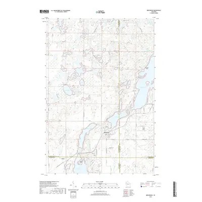
2018 Map of Birchwood
USGS Topo · Published 2018About this map
The village of Birchwood sits at the junction of four counties, where the waters of Birch Lake and Lake Chetac meet. This late-stage topographic study of the region shows a landscape defined by an intricate network of glacial lakes, including Balsam Lake, Red Cedar Lake, and the cluster of Peufald Lakes to the northwest. The presence of Woodlawn Cem and the small settlement of Angus provide touchpoints for local historians, while the Ice Age National Scenic Trail winds through the southern terrain, marking the physical legacy of the region's terminal moraine geology.
Find a feature on this map
91 named features on this map. Tap any name to fly to it.
Don’t see what you’re looking for? This feature index may not catch every label — zoom into the map to look around manually.
Map Details
Editions of this 2018 Birchwood Map
This is the sole edition of this map. No revisions or reprints were ever made.
Other maps of this area

1944 · Couderay
USGS Topo · 1:48,000

1945 · Meteor
USGS Topo · 1:48,000

1948 · Couderay
USGS Topo · 1:48,000

1948 · Stone Lake
USGS Topo · 1:48,000

1949 · Meteor
USGS Topo · 1:48,000

1949 · Rice Lake
USGS Topo · 1:48,000

1950 · Stone Lake
USGS Topo · 1:48,000

1951 · Rice Lake
USGS Topo · 1:48,000

1953 · Rice Lake
USGS Topo · 1:250,000

1959 · Rice Lake
USGS Topo · 1:250,000