2022 Map of Birchwood
USGS Topo · Published 2022About this map
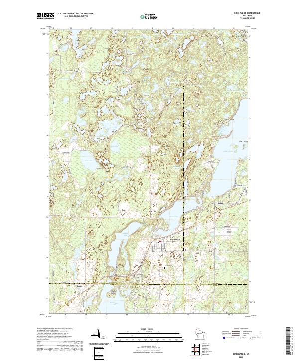
Birchwood sits at the nexus of a complex glacial landscape where four Wisconsin counties—Washburn, Sawyer, Barron, and Rusk—meet. This 2022 survey captures the village and the settlement of Angus surrounded by a dense network of kettle lakes and drainages, including Birch Lake, Balsam Lake, and the northern reaches of Red Cedar Lake. The transition from rail to recreation is evident in the Tuscobia State Trl, which follows a former rail corridor through the heart of the region. Local history is anchored by sites like Woodlawn Cem and family-named features such as Stouts Point and Garbutt Island. The landscape is defined by its water, from the sprawling Lake Chetac in the northeast to smaller bodies like Beartrap Lake and Mallard Lake. Aviation interest is represented by the Florida North Airport, while the intricate road network, including Co Hwy DD and various fire lanes, illustrates the modern connectivity of this lake-country terrain.
Find a feature on this map
107 named features on this map. Tap any name to fly to it.
Don’t see what you’re looking for? This feature index may not catch every label — zoom into the map to look around manually.
Map Details
Editions of this 2022 Birchwood Map
This is the sole edition of this map. No revisions or reprints were ever made.