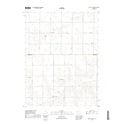
2018 Map of Bird City South SE
USGS Topo · Published 2018About this map
Shermanville Cem sits within the high plains landscape of western Kansas, marking a point of quiet historical significance in this rural portion of Sherman County. The terrain is defined by the winding paths of Little Beaver Cr and Beaver Cr, which cut through the agricultural sections and section-line roads that dominate the area. The presence of the Bursch Private Airport indicates the continued importance of small-scale aviation in managing these large territorial holdings. To the northeast, the Sunnyside Cem serves as another focal point for genealogical research, situated near the boundary where Cheyenne Co meets Sherman Co. This survey reflects the enduring grid of the Public Land Survey System, with township boundaries like t5s r38w and t6s r38w framing the sparsely populated cattle and wheat country.
Find a feature on this map
24 named features on this map. Tap any name to fly to it.
Don’t see what you’re looking for? This feature index may not catch every label — zoom into the map to look around manually.
Map Details
Editions of this 2018 Bird City South SE Map
This is the sole edition of this map. No revisions or reprints were ever made.
Other maps of this area
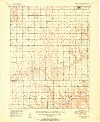
1951 · Bird City South
USGS Topo · 1:62,500
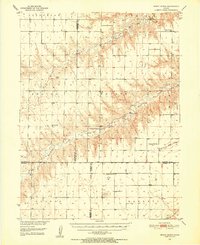
1951 · Dewey Ranch
USGS Topo · 1:62,500

1954 · Goodland
USGS Topo · 1:250,000

1956 · Goodland
USGS Topo · 1:250,000

1957 · Goodland
USGS Topo · 1:250,000
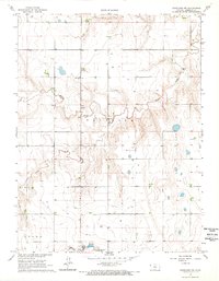
1966 · Goodland NW
USGS Topo · 1:24,000
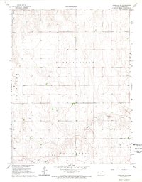
1966 · Goodland NE
USGS Topo · 1:24,000
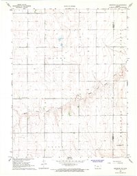
1966 · Brewster NW
USGS Topo · 1:24,000
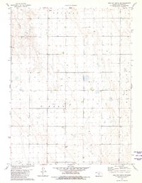
1981 · Bird City South NW
USGS Topo · 1:24,000
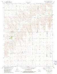
1981 · Dewey Ranch SW
USGS Topo · 1:24,000