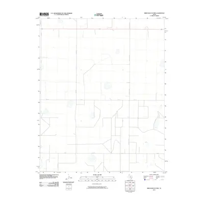
2010 Map of Bird Ranch Store
USGS Topo · Published 2010About this map
Agricultural development and rural infrastructure dominate this Moore County landscape during the early 21st century. The map reveals a strictly organized grid of ranch roads and farm-to-market routes that facilitate the movement of local livestock and crops across the Texas Panhandle. Key corridors like Fm 722 and Fm 3138 serve as the primary lifelines for the region's sparse population, connecting isolated ranching operations. The presence of Monsanto Rd in the northwest corner highlights the integration of industrial agriculture into the local economy. Much of the terrain is defined by wide-open spaces typical of the High Plains, where access is managed via named thoroughfares such as Chair C Rd, Ledbetter Rd, and S County Line Rd.
Find a feature on this map
8 named features on this map. Tap any name to fly to it.
Don’t see what you’re looking for? This feature index may not catch every label — zoom into the map to look around manually.
Map Details
Editions of this 2010 Bird Ranch Store Map
This is the sole edition of this map. No revisions or reprints were ever made.
Other maps of this area

1954 · Tucumcari
USGS Topo · 1:250,000

1958 · Tucumcari
USGS Topo · 1:250,000

1963 · Hartley SE
USGS Topo · 1:24,000

1963 · Hartley NE
USGS Topo · 1:24,000

1963 · Bird Ranch Store
USGS Topo · 1:24,000

1963 · Stallwitz Lake
USGS Topo · 1:24,000

1963 · Moran Ranch
USGS Topo · 1:24,000
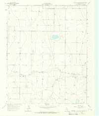
1965 · Stallwitz Lake NE
USGS Topo · 1:24,000

1971 · Bivins Channing Ranch
USGS Topo · 1:24,000
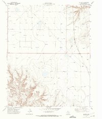
1971 · Bautista
USGS Topo · 1:24,000