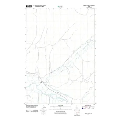
2010 Map of Birding Island
USGS Topo · Published 2010About this map
Fort Wilson and the braided channels of the Payette River define this stretch of Idaho as it appeared in the early 21st century. The landscape is heavily influenced by agricultural water management, evidenced by the complex network of the Lower Payette Ditch, Patton Canal, and Nelson Canal. These waterways navigate a terrain characterized by the confluence of Little Willow Creek and Big Willow Creek with the river.
Find a feature on this map
24 named features on this map. Tap any name to fly to it.
Don’t see what you’re looking for? This feature index may not catch every label — zoom into the map to look around manually.
Map Details
Editions of this 2010 Birding Island Map
This is the sole edition of this map. No revisions or reprints were ever made.
Other maps of this area

1897 · Weiser
USGS Topo · 1:125,000

1898 · Nampa
USGS Topo · 1:125,000

1951 · Payette
USGS Topo · 1:24,000

1951 · Weiser South
USGS Topo · 1:24,000

1952 · Weiser Cove
USGS Topo · 1:24,000

1952 · Birding Island
USGS Topo · 1:24,000

1955 · Baker
USGS Topo · 1:250,000

1955 · Boise
USGS Topo · 1:250,000

1958 · Boise
USGS Topo · 1:250,000

1959 · Baker
USGS Topo · 1:250,000