
2017 Map of Birding Island
USGS Topo · Published 2017About this map
The Payette River valley near the Idaho-Oregon border is defined by an intricate network of irrigation and water management, visible here as it appeared in recent years. The landscape is marked by several named waterways, including Big Willow Creek and the long Lower Payette Ditch, which support the agricultural vitality of the region. Local heritage is rooted in locations like Fort Wilson and the distinct landform of Birding Island, which sits between the river and the surrounding canal system.
Find a feature on this map
32 named features on this map. Tap any name to fly to it.
Don’t see what you’re looking for? This feature index may not catch every label — zoom into the map to look around manually.
Map Details
Editions of this 2017 Birding Island Map
This is the sole edition of this map. No revisions or reprints were ever made.
Other maps of this area
1897 · Weiser
USGS Topo · 1:125,000
1898 · Nampa
USGS Topo · 1:125,000
1951 · Payette
USGS Topo · 1:24,000
1951 · Weiser South
USGS Topo · 1:24,000
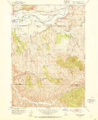
1952 · Weiser Cove
USGS Topo · 1:24,000
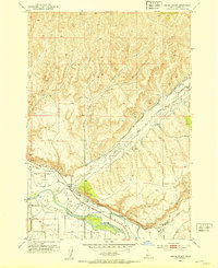
1952 · Birding Island
USGS Topo · 1:24,000

1955 · Baker
USGS Topo · 1:250,000
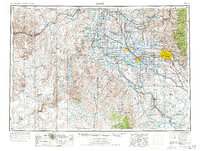
1955 · Boise
USGS Topo · 1:250,000
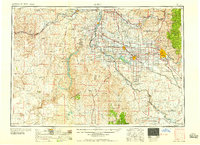
1958 · Boise
USGS Topo · 1:250,000

1959 · Baker
USGS Topo · 1:250,000