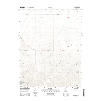
2015 Map of Birds Landing
USGS Topo · Published 2015About this map
The Montezuma Hills dominate this landscape of the Central Valley Sacramento Valley, showing a distinct transition from the flat agricultural expanses of the north to the more complex topography in the south. The small settlement of Birds Landing serves as a primary reference point near the Hopkins Ravine and Lucol Hollow, while the community of Creed anchors the northern end of the map.
Find a feature on this map
34 named features on this map. Tap any name to fly to it.
Don’t see what you’re looking for? This feature index may not catch every label — zoom into the map to look around manually.
Map Details
Editions of this 2015 Birds Landing Map
This is the sole edition of this map. No revisions or reprints were ever made.
Other maps of this area
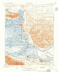
1907 · Antioch
USGS Topo · 1:62,500
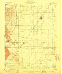
1908 · Vacaville
USGS Topo · 1:62,500
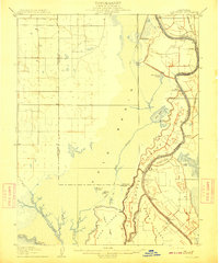
1908 · Courtland
USGS Topo · 1:62,500
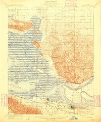
1908 · Antioch
USGS Topo · 1:62,500
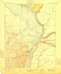
1910 · Rio Vista
USGS Topo · 1:31,680
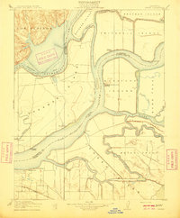
1910 · Jersey
USGS Topo · 1:31,680
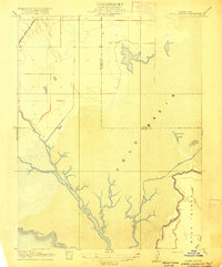
1916 · Cache Slough
USGS Topo · 1:31,680
1916 · Maine Prairie
USGS Topo · 1:31,680
1917 · Elmira
USGS Topo · 1:31,680
1918 · Honker Bay
USGS Topo · 1:31,680