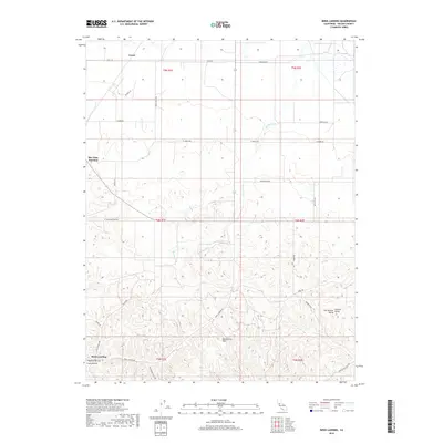
2018 Map of Birds Landing
USGS Topo · Published 2018About this map
Birds Landing sits at the southern edge of the Montezuma Hills in this 2018 survey of Solano County, California. The landscape transitions from the undulating elevations of the hills down toward the vast expanse of the Sacramento Valley and Central Valley to the east. The map records a sparse network of rural settlements, including Rio Vista Junction and the northern outpost of Creed, connected by a grid of agricultural routes like Creed Rd and Flannery Rd.
Find a feature on this map
33 named features on this map. Tap any name to fly to it.
Don’t see what you’re looking for? This feature index may not catch every label — zoom into the map to look around manually.
Map Details
Editions of this 2018 Birds Landing Map
This is the sole edition of this map. No revisions or reprints were ever made.
Other maps of this area
1907 · Antioch
USGS Topo · 1:62,500
1908 · Vacaville
USGS Topo · 1:62,500
1908 · Courtland
USGS Topo · 1:62,500
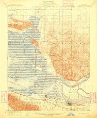
1908 · Antioch
USGS Topo · 1:62,500
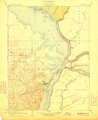
1910 · Rio Vista
USGS Topo · 1:31,680
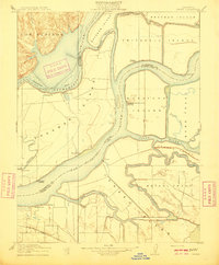
1910 · Jersey
USGS Topo · 1:31,680
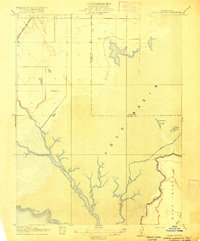
1916 · Cache Slough
USGS Topo · 1:31,680
1916 · Maine Prairie
USGS Topo · 1:31,680
1917 · Elmira
USGS Topo · 1:31,680
1918 · Honker Bay
USGS Topo · 1:31,680