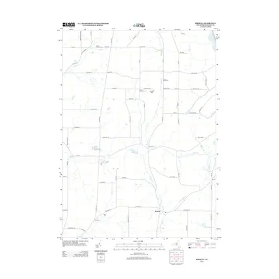
2013 Map of Birdsall
USGS Topo · Published 2013About this map
Birdsall serves as the focal point for this rural Allegany County landscape, where the headwaters of several notable drainage systems diverge. The terrain is defined by its numerous family-named landmarks and historical burial grounds, including the Weaver Settlement Cem in the north and the German Settlement Cem near Grunder Hill. These sites, along with Brewer Corners Cem and White Cem, anchor the genealogy of the area's early farming communities.
Find a feature on this map
67 named features on this map. Tap any name to fly to it.
Don’t see what you’re looking for? This feature index may not catch every label — zoom into the map to look around manually.
Map Details
Editions of this 2013 Birdsall Map
This is the sole edition of this map. No revisions or reprints were ever made.
Other maps of this area

1905 · Portage
USGS Topo · 1:62,500

1905 · Nunda
USGS Topo · 1:62,500

1906 · Angelica
USGS Topo · 1:62,500

1916 · Canaseraga
USGS Topo · 1:62,500

1940 · Canaseraga
USGS Topo · 1:62,500

1941 · Angelica
USGS Topo · 1:62,500

1943 · Nunda
USGS Topo · 1:24,000

1943 · Ossian
USGS Topo · 1:24,000

1943 · Portageville
USGS Topo · 1:24,000
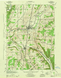
1944 · Nunda
USGS Topo · 1:31,680