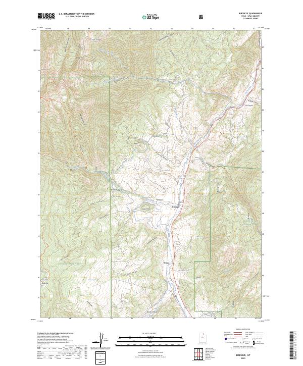
2023 Map of Birdseye
USGS Topo · Published 2023About this map
Thistle Creek carves a central corridor through this section of the Wasatch Range, where the small settlement of Birdseye serves as a primary waypoint along the valley floor. The geography is defined by a high-relief landscape spanning the border of two major protected areas, the Uinta National Forest to the west and the Manti-La Sal National Forest to the east. Steep drainages like Spanish Fork Canyon and Nebo Creek feed the central waterway, while prominent summits such as Santaquin Peak and Loafer Mtn anchor the high country. Numerous named hollows and ridges, including Mahogany Ridge and Paces Hollow, detail the complex terrain of the basin. Local transit routes like Birdseye Rd and Bennie Creek Rd provide access to cattle country and isolated landmarks such as Nielson Knoll and the high-elevation meadows at Soap Flat.
Find a feature on this map
51 named features on this map. Tap any name to fly to it.
Don’t see what you’re looking for? This feature index may not catch every label — zoom into the map to look around manually.
Map Details
Editions of this 2023 Birdseye Map
This is the sole edition of this map. No revisions or reprints were ever made.
Other maps of this area

1885 · Salt Lake
USGS Topo · 1:250,000

1885 · Manti
USGS Topo · 1:250,000

1895 · Manti
USGS Topo · 1:250,000

1907 · Strawberry Valley
USGS Topo · 1:125,000

1909 · Strawberry Valley
USGS Topo · 1:125,000

1948 · Spanish Fork
USGS Topo · 1:24,000

1949 · Provo
USGS Topo · 1:62,500

1949 · Spanish Fork Peak
USGS Topo · 1:24,000

1950 · Spanish Fork
USGS Topo · 1:24,000

1951 · Spanish Fork Peak
USGS Topo · 1:24,000