
1951 Map of Spanish Fork Peak
USGS Topo · Published 1951About this map
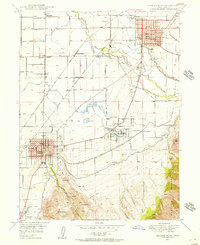
Mapleton and its surrounding agricultural benchlands represent the primary settlement area in this mid-century survey of the Uinta National Forest foothills. The landscape is defined by the sharp transition from the flat East Bench to the high elevations of Spanish Fork Pk and Loafer Mountain. The economy of the era is etched into the terrain through an extensive network of water infrastructure, including the Utah Central Canal, a Siphon, and a Powerhouse located near Sutro.
Find a feature on this map
76 named features on this map. Tap any name to fly to it.
Don’t see what you’re looking for? This feature index may not catch every label — zoom into the map to look around manually.
Map Details
Editions of this 1951 Spanish Fork Peak Map
This is the sole edition of this map. No revisions or reprints were ever made.
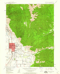
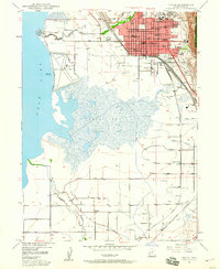
Other maps of this area

1885 · Salt Lake
USGS Topo · 1:250,000

1885 · Manti
USGS Topo · 1:250,000

1895 · Manti
USGS Topo · 1:250,000

1907 · Strawberry Valley
USGS Topo · 1:125,000

1909 · Strawberry Valley
USGS Topo · 1:125,000
1948 · Spanish Fork
USGS Topo · 1:24,000
1948 · Springville
USGS Topo · 1:24,000
1948 · Provo
USGS Topo · 1:24,000

1949 · Provo
USGS Topo · 1:62,500
1949 · Spanish Fork Peak
USGS Topo · 1:24,000