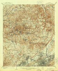
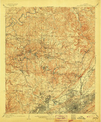
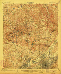
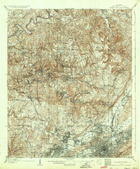
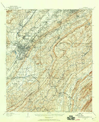
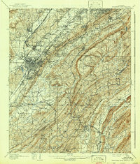
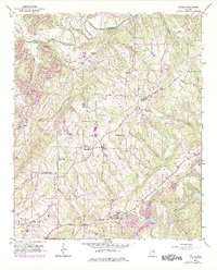
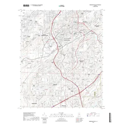
1906 Map of Birmingham Coal District
USGS Topo · Published 1944About this map
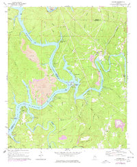
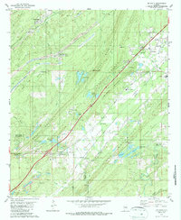
Industrial expansion and rural life intersect in the northern Jefferson County hills at the turn of the century. The Warrior River snakes along the northwestern edge of this 1904 survey, providing a boundary for a landscape defined by the extraction of coal. Large-scale operations like the Banner Mines, Graves Mines, and Morrow Mines are linked by a dense web of rail, including the Southern RR and the Kansas City Memphis and Birmingham RR.
Find a feature on this map
121 named features on this map. Tap any name to fly to it.
Don’t see what you’re looking for? This feature index may not catch every label — zoom into the map to look around manually.
Map Details
Editions of this 1906 Birmingham Coal District Map
4 editions found
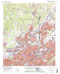
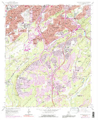
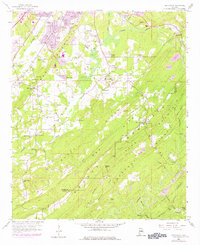
Historical Maps of Birmingham Through Time
57 maps found

1904 Birmingham Coal District
Jefferson County, AL
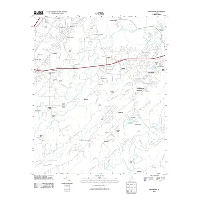
1905 Bessemer Iron District
Jefferson County, AL
1906 Birmingham Coal District
Jefferson County, AL
1907 Bessemer Iron District
Jefferson County, AL

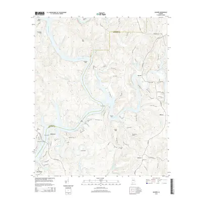
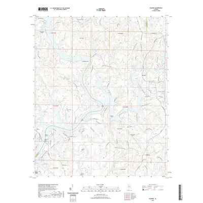
1927 Adger
Jefferson County, AL

1932 Yolande
Jefferson County, AL

1935 Port Birmingham
Jefferson County, AL
1935 Yolande
Jefferson County, AL
1938 Port Birmingham
Jefferson County, AL
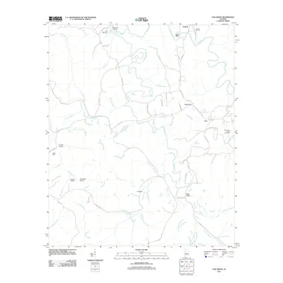
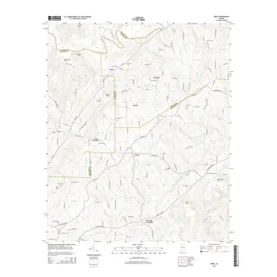
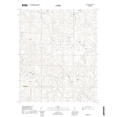
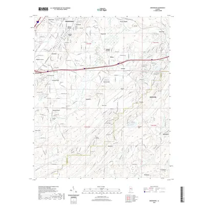
1951 Creel
Jefferson County, AL
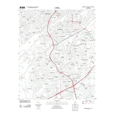
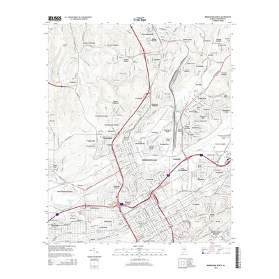
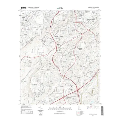
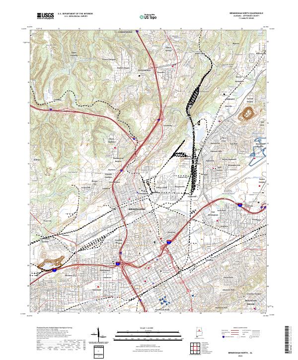
1959 Birmingham North
Jefferson County, AL
1959 Birmingham South
Jefferson County, AL
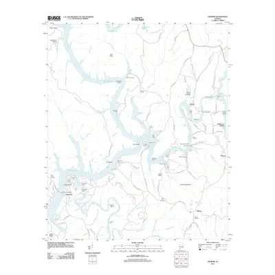
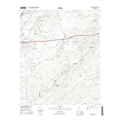
1959 Greenwood
Jefferson County, AL
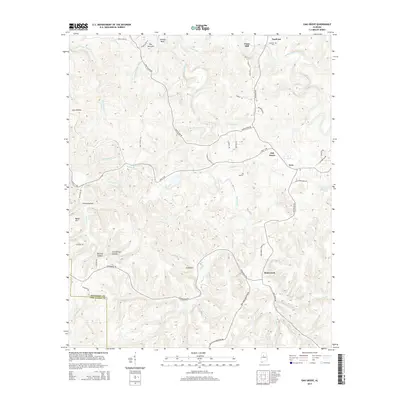
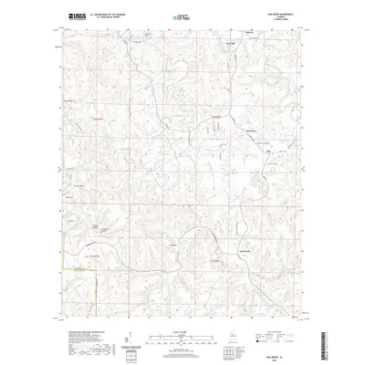
1971 Gilmore
Jefferson County, AL

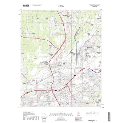
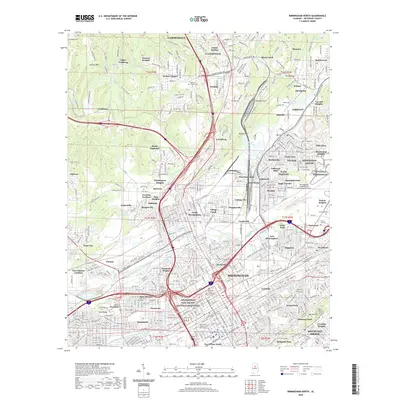
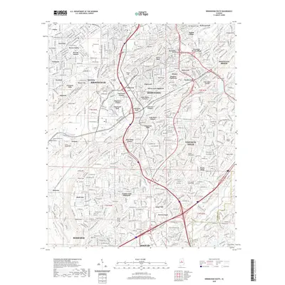
1975 Birmingham North
Jefferson County, AL

1975 Birmingham South
Jefferson County, AL

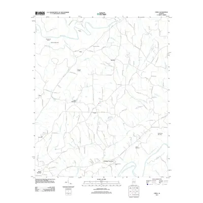
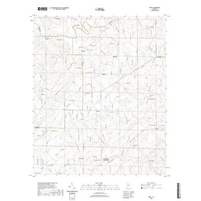
1975 Creel
Jefferson County, AL

1975 Gilmore
Jefferson County, AL

1975 Greenwood
Jefferson County, AL

1975 Yolande NE
Jefferson County, AL

1975 Yolande NW
Jefferson County, AL

1975 Yolande SE
Jefferson County, AL
1980 Mc Calla
Jefferson County, AL
1980 Oak Grove
Jefferson County, AL

1997 Birmingham North
Jefferson County, AL

1997 Birmingham South
Jefferson County, AL
2011 Birmingham North
Jefferson County, AL
2011 Birmingham South
Jefferson County, AL
2011 Creel
Jefferson County, AL
2011 Gilmore
Jefferson County, AL
2011 Greenwood
Jefferson County, AL
2011 Oak Grove
Jefferson County, AL
2014 Birmingham North
Jefferson County, AL
2014 Birmingham South
Jefferson County, AL
2014 Creel
Jefferson County, AL
2014 Gilmore
Jefferson County, AL
2014 Greenwood
Jefferson County, AL
2014 Oak Grove
Jefferson County, AL
2018 Birmingham North
Jefferson County, AL
2018 Birmingham South
Jefferson County, AL
2018 Creel
Jefferson County, AL
2018 Gilmore
Jefferson County, AL
2018 Greenwood
Jefferson County, AL
2018 Oak Grove
Jefferson County, AL
2020 Birmingham North
Jefferson County, AL
2020 Birmingham South
Jefferson County, AL
2020 Creel
Jefferson County, AL
2020 Gilmore
Jefferson County, AL
2020 Greenwood
Jefferson County, AL
2020 Oak Grove
Jefferson County, AL
2024 Birmingham North
Jefferson County, AL
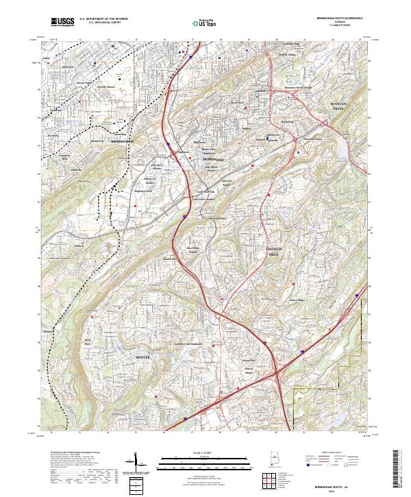
2024 Birmingham South
Jefferson County, AL
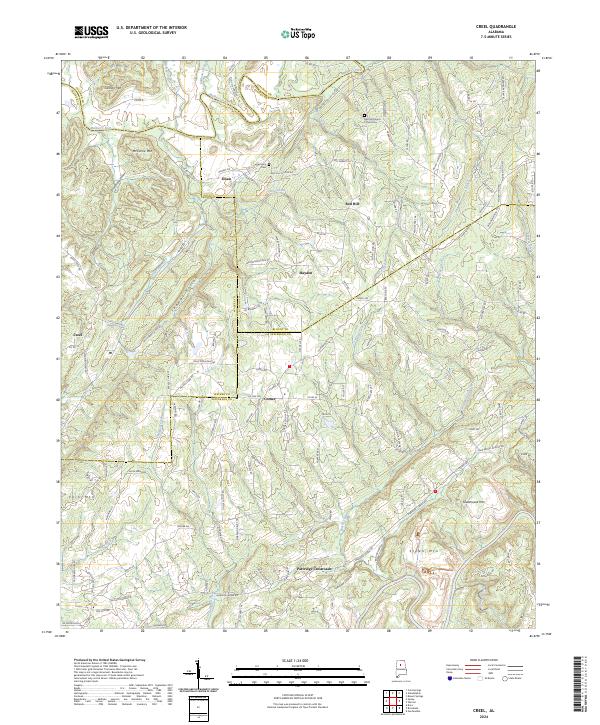
2024 Creel
Jefferson County, AL
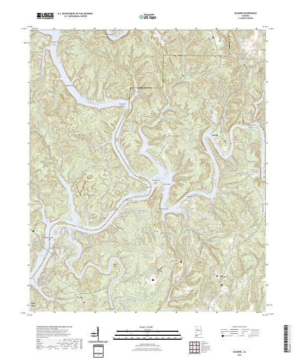
2024 Gilmore
Jefferson County, AL
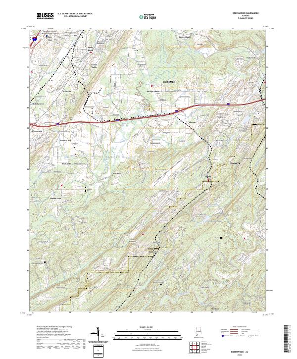
2024 Greenwood
Jefferson County, AL
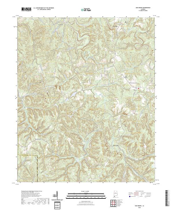
2024 Oak Grove
Jefferson County, AL
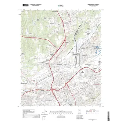
2026 Birmingham North
Jefferson County, AL