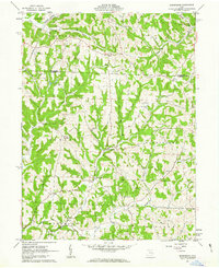
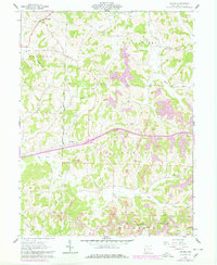
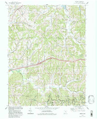
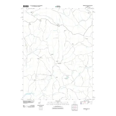
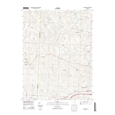
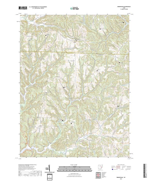
1963 Map of Birmingham
USGS Topo · Published 1963About this map
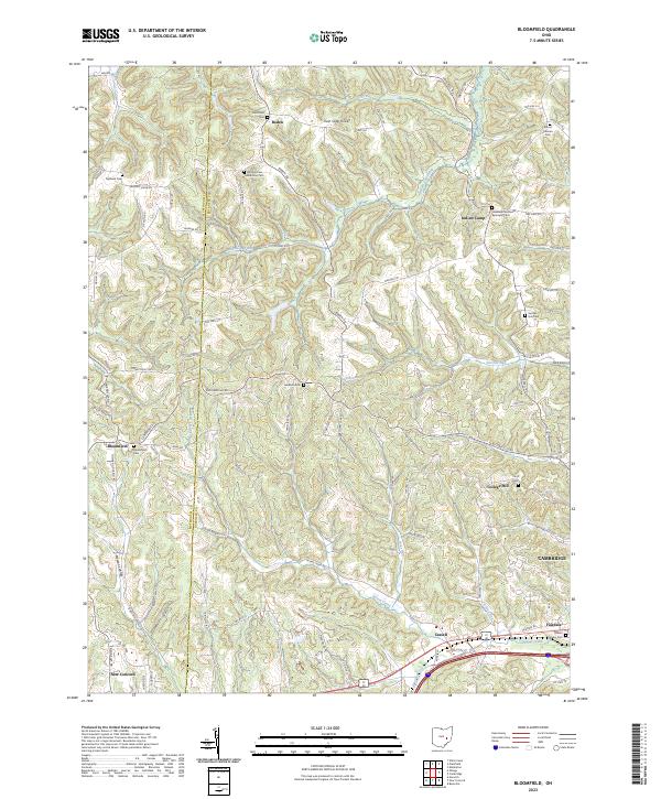
Birmingham sits at the center of this topographical landscape, where the rolling divide between Tuscarawas Co and Guernsey Co shapes the settlement patterns of the early 1960s. The region is defined by a dense network of creek forks, including Rocky Fork, Clear Fork, and Dunlap Creek, which provide the low-lying routes for local transit while small churches and cemeteries crown the surrounding ridges. These rural landmarks, such as Irish Ridge Ch and Cumberland Cem, suggest a history of tight-knit upland communities established along high ground like Colliers Hill.
Find a feature on this map
37 named features on this map. Tap any name to fly to it.
Don’t see what you’re looking for? This feature index may not catch every label — zoom into the map to look around manually.
Map Details
Editions of this 1963 Birmingham Map
This is the sole edition of this map. No revisions or reprints were ever made.
Historical Maps of Peoli Through Time
26 maps found
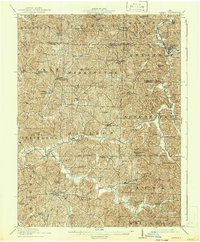
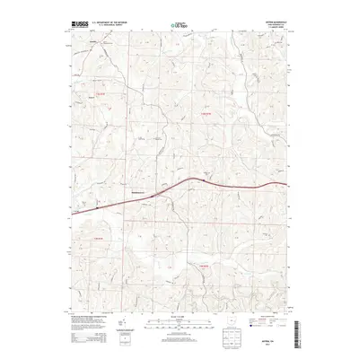
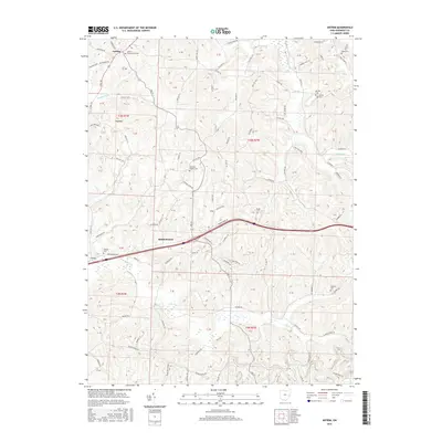
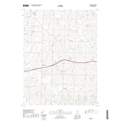
1909 Antrim
Guernsey County, OH
1911 Antrim
Guernsey County, OH
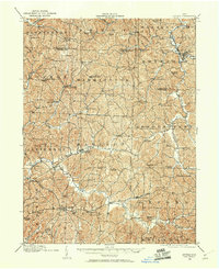
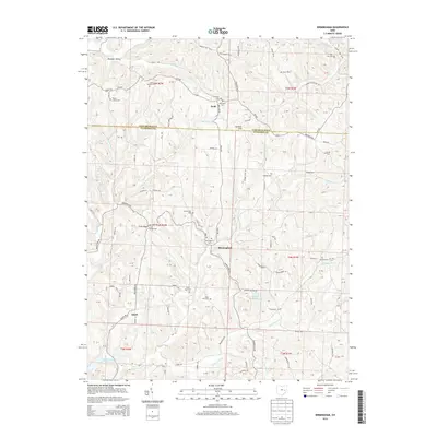
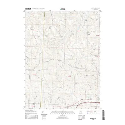
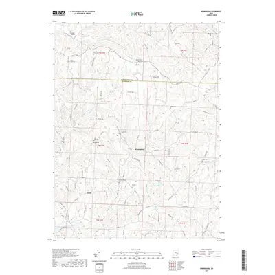
1961 Birmingham
Guernsey County, OH
1962 Antrim
Guernsey County, OH
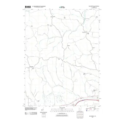
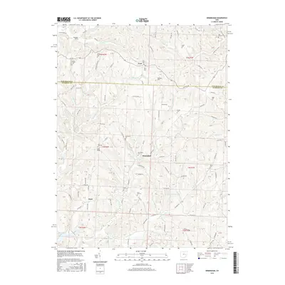
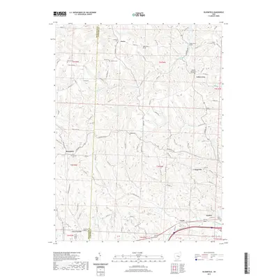
1962 Bloomfield
Guernsey County, OH
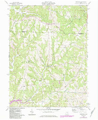
1963 Birmingham
Guernsey County, OH
1993 Antrim
Guernsey County, OH
1993 Bloomfield
Guernsey County, OH
1994 Antrim
Guernsey County, OH
1994 Birmingham
Guernsey County, OH
1994 Bloomfield
Guernsey County, OH
2010 Antrim
Guernsey County, OH
2010 Birmingham
Guernsey County, OH
2010 Bloomfield
Guernsey County, OH
2013 Antrim
Guernsey County, OH
2013 Birmingham
Guernsey County, OH
2013 Bloomfield
Guernsey County, OH
2016 Antrim
Guernsey County, OH
2016 Birmingham
Guernsey County, OH
2016 Bloomfield
Guernsey County, OH
2019 Antrim
Guernsey County, OH
2019 Birmingham
Guernsey County, OH
2019 Bloomfield
Guernsey County, OH

2023 Antrim
Guernsey County, OH
2023 Birmingham
Guernsey County, OH
2023 Bloomfield
Guernsey County, OH