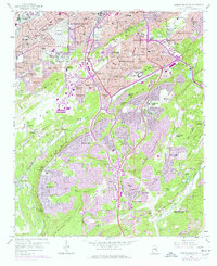
1959 Map of Birmingham South
USGS Topo · Published 1978About this map
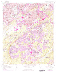
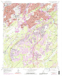
Birmingham and its southern suburbs undergo significant post-war expansion across the ridge-and-valley topography of Jones Valley and Shades Mountain. The landscape is a study in contrasting land use, from the dense industrial rail corridors of the Southern and Central of Georgia railroads to the burgeoning residential developments in Homewood, Mountain Brook, and Vestavia Hills. Institutional landmarks like Howard College and Vulcan Park anchor the suburban landscape, while the sprawling grounds of Elmwood Cemetery serve as a major landmark in the west. South of the city, the terrain transitions into the more open spaces of Dolly Ridge and the banks of the Cahaba River, where smaller communities like Patton Chapel and Hoover are beginning to take shape alongside established areas like Bluff Park.
Find a feature on this map
116 named features on this map. Tap any name to fly to it.
Don’t see what you’re looking for? This feature index may not catch every label — zoom into the map to look around manually.
Map Details
Editions of this 1959 Birmingham South Map
6 editions found
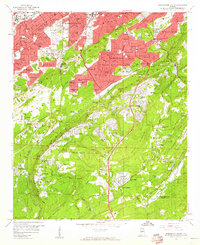
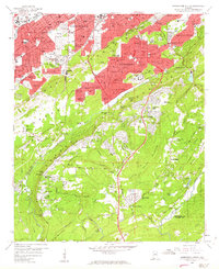
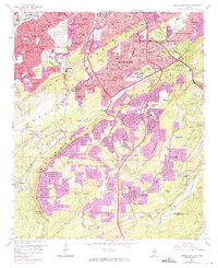
Other maps of this area

1889 · Birmingham
USGS Topo · 1:125,000

1890 · Bessemer
USGS Topo · 1:125,000

1892 · Birmingham
USGS Topo · 1:125,000

1892 · Bessemer
USGS Topo · 1:125,000

1895 · Birmingham
USGS Topo · 1:125,000

1904 · Birmingham Coal District
USGS Topo · 1:62,500

1905 · Bessemer Iron District
USGS Topo · 1:62,500

1905 · Leeds
USGS Topo · 1:62,500

1906 · Birmingham Special
USGS Topo · 1:62,500

1906 · Vandiver
USGS Topo · 1:62,500