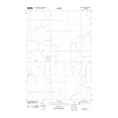
2010 Map of Birnamwood
USGS Topo · Published 2010About this map
Birnamwood serves as the central hub of this Wisconsin landscape, where the local road network and water systems converge. The village is flanked by significant local burial grounds, including Saint Philomene Cemetery to the west and Forest Cemetery to the east. The terrain is defined by a complex network of waterways, most notably the winding Middle Branch Embarrass River which drains the eastern portion of the quadrangle.
Find a feature on this map
47 named features on this map. Tap any name to fly to it.
Don’t see what you’re looking for? This feature index may not catch every label — zoom into the map to look around manually.
Map Details
Editions of this 2010 Birnamwood Map
This is the sole edition of this map. No revisions or reprints were ever made.
Other maps of this area

1899 · Wausau
USGS Topo · 1:125,000

1902 · Wausau
USGS Topo · 1:125,000

1951 · Doering
USGS Topo · 1:48,000

1952 · Antigo
USGS Topo · 1:48,000

1953 · Hatley
USGS Topo · 1:48,000

1954 · Wittenberg
USGS Topo · 1:48,000

1954 · Iron Mountain
USGS Topo · 1:250,000

1955 · Green Bay
USGS Topo · 1:250,000

1959 · Iron Mountain
USGS Topo · 1:250,000

1964 · Wittenberg
USGS Topo · 1:62,500