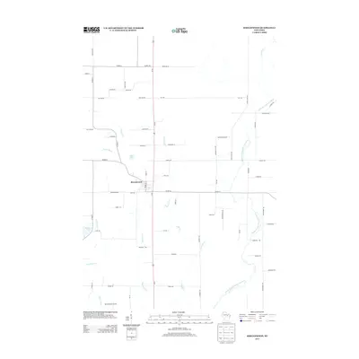
2013 Map of Birnamwood
USGS Topo · Published 2013About this map
Birnamwood serves as the central hub of this northern Wisconsin landscape, situated where local thoroughfares like Co Hwy-N and State Rd intersect. The surrounding terrain is defined by a dense network of waterways, most notably the meandering Middle Branch Embarrass River and Elmhurst Cr which drain the eastern portions of the quadrangle. To the west, the geography becomes more varied with the presence of Mayflower Lake and Mud Lake, alongside smaller tributaries like Norrie Brook and Packard Cr.
Find a feature on this map
61 named features on this map. Tap any name to fly to it.
Don’t see what you’re looking for? This feature index may not catch every label — zoom into the map to look around manually.
Map Details
Editions of this 2013 Birnamwood Map
This is the sole edition of this map. No revisions or reprints were ever made.
Other maps of this area

1899 · Wausau
USGS Topo · 1:125,000

1902 · Wausau
USGS Topo · 1:125,000

1951 · Doering
USGS Topo · 1:48,000

1952 · Antigo
USGS Topo · 1:48,000

1953 · Hatley
USGS Topo · 1:48,000

1954 · Wittenberg
USGS Topo · 1:48,000

1954 · Iron Mountain
USGS Topo · 1:250,000

1955 · Green Bay
USGS Topo · 1:250,000

1959 · Iron Mountain
USGS Topo · 1:250,000

1964 · Wittenberg
USGS Topo · 1:62,500