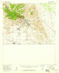
1958 Map of Bisbee
USGS Topo · Published 1959About this map
Bisbee and its satellite mining communities dominate the eastern slopes of the Mule Mountains in this late 1950s survey. The landscape is profoundly shaped by the region’s intensive copper mining operations, most notably the massive Lavender Pit and the site of Sacramento Hill. The settlement pattern reflects the density of industrial labor, from the urban center of the city itself to smaller residential pockets like Lowell, Bakerville, and the distinctly named Tintown. Further south, the terrain levels out into the Sulphur Spring Valley, where the Bisbee Municipal Airport and the international border crossing at Naco define the lower basin.
Find a feature on this map
75 named features on this map. Tap any name to fly to it.
Don’t see what you’re looking for? This feature index may not catch every label — zoom into the map to look around manually.
Map Details
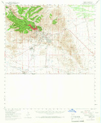
Editions of this 1958 Bisbee Map
2 editions found
Other maps of this area

1902 · Bisbee
USGS Topo · 1:62,500

1910 · Bisbee
USGS Topo · 1:62,500

1914 · Hereford
USGS Topo · 1:125,000

1914 · Douglas
USGS Topo · 1:62,500

1915 · Benson
USGS Topo · 1:125,000

1916 · Pearce
USGS Topo · 1:125,000

1916 · Douglas
USGS Topo · 1:125,000

1919 · Douglas
USGS Topo · 1:125,000

1922 · Swisshelm
USGS Topo · 1:62,500

1925 · Douglas
USGS Topo · 1:62,500