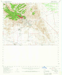
1958 Map of Bisbee
USGS Topo · Published 1967About this map
Bisbee and its surrounding mining districts dominate this 1950s topographic record, centered on the intensive copper operations of the Mule Mountains. The landscape is heavily marked by the massive Lavender Pit and the Sacramento Hill area, surrounded by a constellation of company towns and neighborhoods including Warren, Lowell, Bakerville, and Saginaw. Industrial infrastructure is visible everywhere, from the Tailings Pond and Tailings Dump to numerous named shafts like the Campbell Shaft and Junction Mine.
Find a feature on this map
101 named features on this map. Tap any name to fly to it.
Don’t see what you’re looking for? This feature index may not catch every label — zoom into the map to look around manually.
Map Details
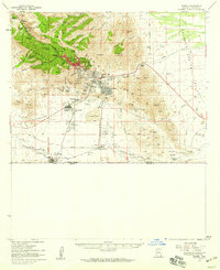
Editions of this 1958 Bisbee Map
2 editions found
Other maps of this area

1902 · Bisbee
USGS Topo · 1:62,500

1910 · Bisbee
USGS Topo · 1:62,500

1914 · Hereford
USGS Topo · 1:125,000

1914 · Douglas
USGS Topo · 1:62,500

1915 · Benson
USGS Topo · 1:125,000

1916 · Pearce
USGS Topo · 1:125,000

1916 · Douglas
USGS Topo · 1:125,000

1919 · Douglas
USGS Topo · 1:125,000

1922 · Swisshelm
USGS Topo · 1:62,500

1925 · Douglas
USGS Topo · 1:62,500