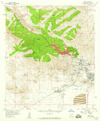
1958 Map of Bisbee
USGS Topo · Published 1959About this map
Mining operations and mountain settlements dominate this late-1950s Arizona landscape, centered on the dramatic excavation of the Lavender Pit. The town of Bisbee is shown in high detail, with landmark buildings like the St Patrick School, City Hall, and Bisbee HS clustered near the mouth of Brewery Gulch. To the southeast, the industrial footprint of the Southern Pacific railroad serves the concentrated mining districts of Lowell, Warren, and South Bisbee.
Find a feature on this map
88 named features on this map. Tap any name to fly to it.
Don’t see what you’re looking for? This feature index may not catch every label — zoom into the map to look around manually.
Map Details
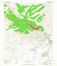
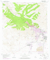
Editions of this 1958 Bisbee Map
3 editions found
Other maps of this area

1902 · Bisbee
USGS Topo · 1:62,500

1910 · Bisbee
USGS Topo · 1:62,500

1914 · Hereford
USGS Topo · 1:125,000

1915 · Benson
USGS Topo · 1:125,000

1916 · Pearce
USGS Topo · 1:125,000

1916 · Douglas
USGS Topo · 1:125,000

1919 · Douglas
USGS Topo · 1:125,000

1925 · Gleeson
USGS Topo · 1:62,500

1927 · Bisbee
USGS Topo · 1:62,500

1932 · Stark
USGS Topo · 1:62,500