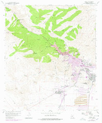
1958 Map of Bisbee
USGS Topo · Published 1978About this map
The Mule Mountains dominate this 1958 survey, where the heavy industry of copper mining defines the southern Arizona landscape. At the heart of the district, the massive Lavender Pit and the excavations at Sacramento Hill reveal a complex network of Tailing Thickeners, Conveyor systems, and Ore Dumps that fueled the local economy. The residential pattern is equally intricate, showing the distinct neighborhoods of Bisbee, Lowell, Warren, and South Bisbee clustered around the mining operations.
Find a feature on this map
122 named features on this map. Tap any name to fly to it.
Don’t see what you’re looking for? This feature index may not catch every label — zoom into the map to look around manually.
Map Details
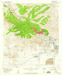
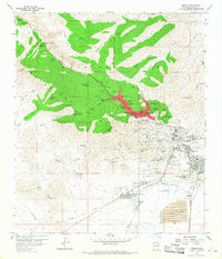
Editions of this 1958 Bisbee Map
3 editions found
Other maps of this area

1902 · Bisbee
USGS Topo · 1:62,500

1910 · Bisbee
USGS Topo · 1:62,500

1914 · Hereford
USGS Topo · 1:125,000

1915 · Benson
USGS Topo · 1:125,000

1916 · Pearce
USGS Topo · 1:125,000

1916 · Douglas
USGS Topo · 1:125,000

1919 · Douglas
USGS Topo · 1:125,000

1925 · Gleeson
USGS Topo · 1:62,500

1927 · Bisbee
USGS Topo · 1:62,500

1932 · Stark
USGS Topo · 1:62,500