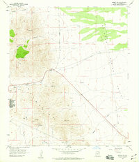
1958 Map of Bisbee NE
USGS Topo · Published 1959About this map
Mining operations and rugged desert topography define this 1958 survey of the southern Arizona landscape. The eastern slopes of the Mule Mountains transition into the wide expanse of the Sulphur Spring Valley, where a network of industry and transport is clearly visible. The settlement of Warren and the Forrest Ranch anchor the human geography, while the presence of the Easter Sunday Mine, Superior & Boston Mine, and Ivanthoe Mine highlight the intense mineral extraction that shaped Cochise County.
Find a feature on this map
18 named features on this map. Tap any name to fly to it.
Don’t see what you’re looking for? This feature index may not catch every label — zoom into the map to look around manually.
Map Details
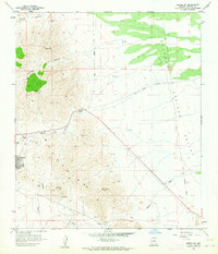
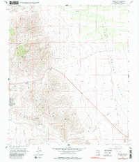
Editions of this 1958 Bisbee NE Map
3 editions found
Other maps of this area

1902 · Bisbee
USGS Topo · 1:62,500

1910 · Bisbee
USGS Topo · 1:62,500

1914 · Douglas
USGS Topo · 1:62,500

1916 · Pearce
USGS Topo · 1:125,000

1916 · Douglas
USGS Topo · 1:125,000

1919 · Douglas
USGS Topo · 1:125,000

1922 · Swisshelm
USGS Topo · 1:62,500

1925 · Douglas
USGS Topo · 1:62,500

1925 · Gleeson
USGS Topo · 1:62,500

1927 · Bisbee
USGS Topo · 1:62,500