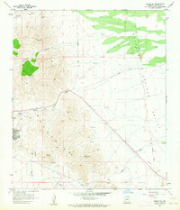
1958 Map of Bisbee NE
USGS Topo · Published 1964About this map
Mining operations and rugged topographical surveying dominate this portrait of Cochise County during the late 1950s. The landscape is heavily marked by industrial activity, particularly around the settlement of Warren, where numerous shafts and pits appear alongside the Superior & Boston Mine and the Ivanhoe Mine. This intense subsurface exploration is further evidenced by a dense concentration of Prospect points scattered across Gold Hill and near the Easter Sunday Mine.
Find a feature on this map
24 named features on this map. Tap any name to fly to it.
Don’t see what you’re looking for? This feature index may not catch every label — zoom into the map to look around manually.
Map Details
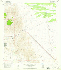
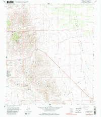
Editions of this 1958 Bisbee NE Map
3 editions found
Other maps of this area

1902 · Bisbee
USGS Topo · 1:62,500

1910 · Bisbee
USGS Topo · 1:62,500

1914 · Douglas
USGS Topo · 1:62,500

1916 · Pearce
USGS Topo · 1:125,000

1916 · Douglas
USGS Topo · 1:125,000

1919 · Douglas
USGS Topo · 1:125,000

1922 · Swisshelm
USGS Topo · 1:62,500

1925 · Douglas
USGS Topo · 1:62,500

1925 · Gleeson
USGS Topo · 1:62,500

1927 · Bisbee
USGS Topo · 1:62,500