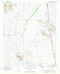
1965 Map of Biscuit Flat
USGS Topo · Published 1966About this map
Biscuit Flat and the surrounding desert floor are defined by a complex network of seasonal drainages and cattle-watering infrastructure in the mid-1960s. The landscape is dominated by the New River and its tributaries, such as Skunk Creek and Deadman Wash, while prominent rises like Black Mountain and Middle Mtn provide topographic contrast.
Find a feature on this map
33 named features on this map. Tap any name to fly to it.
Don’t see what you’re looking for? This feature index may not catch every label — zoom into the map to look around manually.
Map Details
Editions of this 1965 Biscuit Flat Map
3 editions found
Other maps of this area

1954 · Phoenix
USGS Topo · 1:250,000

1957 · Phoenix
USGS Topo · 1:250,000

1957 · Calderwood Butte
USGS Topo · 1:24,000

1957 · Hedgpeth Hills
USGS Topo · 1:24,000

1958 · Phoenix
USGS Topo · 1:250,000

1960 · Phoenix
USGS Topo · 1:250,000
1964 · New River
USGS Topo · 1:24,000
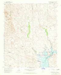
1964 · Governors Peak
USGS Topo · 1:24,000
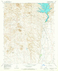
1964 · Baldy Mtn
USGS Topo · 1:24,000
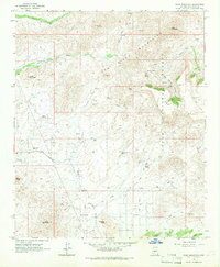
1964 · Daisy Mountain
USGS Topo · 1:24,000