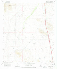
1965 Map of Biscuit Flat
USGS Topo · Published 1975About this map
Biscuit Flat dominates this desert landscape north of Phoenix, where the drainage systems of the New River and Skunk Creek converge. In the mid-1960s, the area served as a transition between the rising waters of Lake Pleasant Regional Park and the arid ranching and recreational lands to the east. The terrain is marked by a complex network of livestock water features, ranging from the Maricopa Tank and Snodgrass Tank to the whimsically named Milky Way Tank.
Find a feature on this map
31 named features on this map. Tap any name to fly to it.
Don’t see what you’re looking for? This feature index may not catch every label — zoom into the map to look around manually.
Map Details
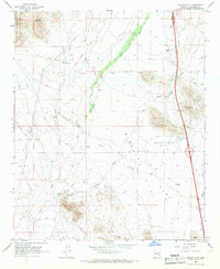
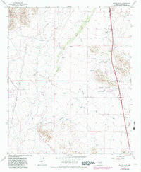
Editions of this 1965 Biscuit Flat Map
3 editions found
Other maps of this area

1954 · Phoenix
USGS Topo · 1:250,000

1957 · Phoenix
USGS Topo · 1:250,000

1957 · Calderwood Butte
USGS Topo · 1:24,000

1957 · Hedgpeth Hills
USGS Topo · 1:24,000

1958 · Phoenix
USGS Topo · 1:250,000

1960 · Phoenix
USGS Topo · 1:250,000
1964 · New River
USGS Topo · 1:24,000
1964 · Governors Peak
USGS Topo · 1:24,000
1964 · Baldy Mtn
USGS Topo · 1:24,000
1964 · Daisy Mountain
USGS Topo · 1:24,000