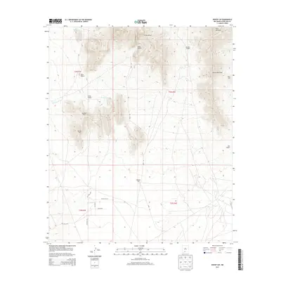
2013 Map of Bishop Cap
USGS Topo · Published 2013About this map
Organ Mountains terrain dominates the northeastern portion of this landscape, giving way to the dramatic prominence of Bishop Cap and Pyramid Peak to the west. This high desert environment is defined by a network of drainage systems, including Mossman Arroyo and Vado Arroyo, which cut through the arid flats between the summits and the scattered hills like Booker Hill. The land is sparsely developed, with the primary human footprint appearing as a grid of named ranch and access roads such as Lord Ranch Dr and Anzio Rd. This 2013 survey illustrates the intersection of rugged topography and large-scale land divisions, including t24s r3e and t25s r4e, showing a region where natural features like Peña Blanca and Rattlesnake Ridge remain the most significant landmarks on the terrain.
Find a feature on this map
25 named features on this map. Tap any name to fly to it.
Don’t see what you’re looking for? This feature index may not catch every label — zoom into the map to look around manually.
Map Details
Editions of this 2013 Bishop Cap Map
This is the sole edition of this map. No revisions or reprints were ever made.
Other maps of this area
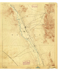
1891 · Las Cruces
USGS Topo · 1:125,000
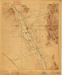
1893 · Las Cruces
USGS Topo · 1:125,000
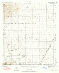
1940 · Newman
USGS Topo · 1:62,500
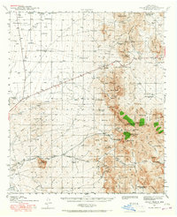
1941 · Organ Peak
USGS Topo · 1:62,500
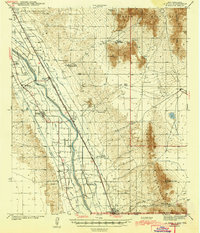
1943 · La Mesa
USGS Topo · 1:62,500
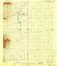
1943 · Parker Lake
USGS Topo · 1:62,500
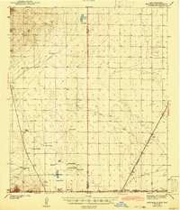
1943 · Newman
USGS Topo · 1:62,500
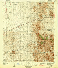
1943 · Organ Peak
USGS Topo · 1:62,500
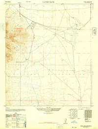
1948 · Davies Tank
USGS Topo · 1:24,000
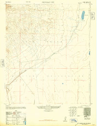
1948 · Newman NW
USGS Topo · 1:24,000