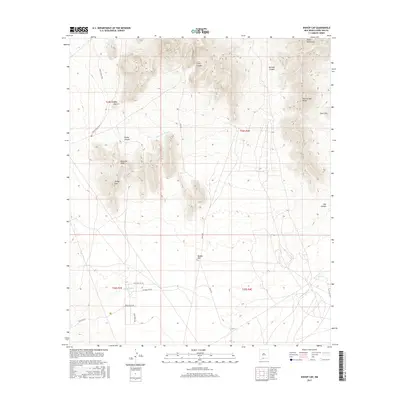
2017 Map of Bishop Cap
USGS Topo · Published 2017About this map
Bishop Cap and Pyramid Peak dominate the southern reach of the Organ Mountains in this modern topographic study of Doña Ana County. The terrain is defined by complex drainage systems such as Mossman Arroyo and Vado Arroyo that channel runoff from the high ridges down toward the desert floor. To the north, Long Canyon and Boulder Canyon carve deep paths through the high country, while prominent landmarks like Rattlesnake Ridge and Deer Hill provide clear orientation points for those navigating the arid landscape.
Find a feature on this map
25 named features on this map. Tap any name to fly to it.
Don’t see what you’re looking for? This feature index may not catch every label — zoom into the map to look around manually.
Map Details
Editions of this 2017 Bishop Cap Map
This is the sole edition of this map. No revisions or reprints were ever made.
Other maps of this area
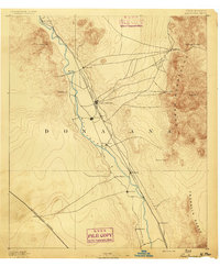
1891 · Las Cruces
USGS Topo · 1:125,000
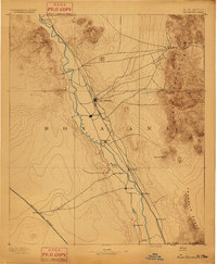
1893 · Las Cruces
USGS Topo · 1:125,000
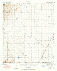
1940 · Newman
USGS Topo · 1:62,500
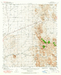
1941 · Organ Peak
USGS Topo · 1:62,500
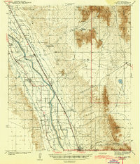
1943 · La Mesa
USGS Topo · 1:62,500
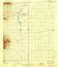
1943 · Parker Lake
USGS Topo · 1:62,500
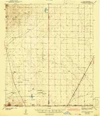
1943 · Newman
USGS Topo · 1:62,500
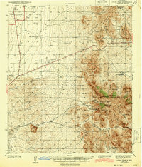
1943 · Organ Peak
USGS Topo · 1:62,500
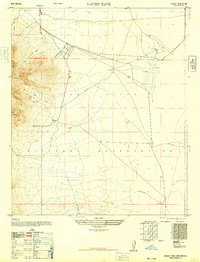
1948 · Davies Tank
USGS Topo · 1:24,000
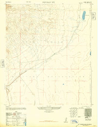
1948 · Newman NW
USGS Topo · 1:24,000