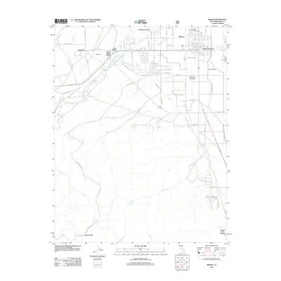
2012 Map of Bishop
USGS Topo · Published 2012About this map
Bishop serves as the primary hub of this eastern Sierra Nevada landscape, where the town's street grid is bordered by a complex network of man-made waterways. The Owens River Canal, Bishop Creek, and Bishop Creek Canal define the irrigation and water management patterns critical to the Owens Valley. These features reflect the long-standing hydraulic history of Inyo County, providing water to agricultural areas and local settlements like West Bishop and Brockmans Corner.
Find a feature on this map
67 named features on this map. Tap any name to fly to it.
Don’t see what you’re looking for? This feature index may not catch every label — zoom into the map to look around manually.
Map Details
Editions of this 2012 Bishop Map
This is the sole edition of this map. No revisions or reprints were ever made.
Other maps of this area

1912 · Mt. Goddard
USGS Topo · 1:125,000

1913 · Bishop
USGS Topo · 1:125,000

1947 · Mariposa
USGS Topo · 1:250,000

1948 · Mariposa
USGS Topo · 1:250,000

1948 · Mt. Goddard
USGS Topo · 1:62,500

1949 · Mt. Tom
USGS Topo · 1:62,500

1949 · Bishop
USGS Topo · 1:62,500

1950 · Big Pine
USGS Topo · 1:62,500

1951 · Mt. Tom
USGS Topo · 1:62,500

1951 · Mt. Goddard
USGS Topo · 1:62,500