Loading...
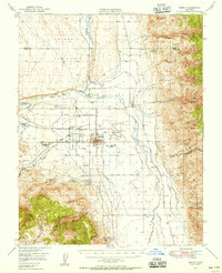
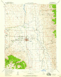
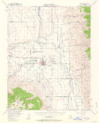
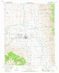
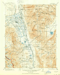
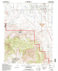
Loading map...1949 Map of Bishop
USGS Topo · Published 1956About this map
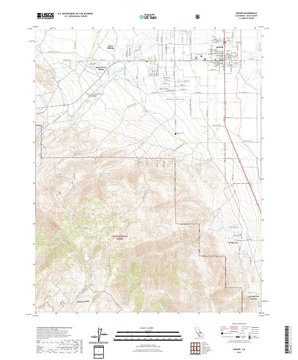
The city of Bishop serves as the central hub of this mid-century survey, surrounded by a complex network of water management and extraction infrastructure. The Paiute Shoshone Indian Reservation sits just west of the city, while the Owens River and several artificial waterways like the Mc Nally Canal and Southern Pacific Canal illustrate the heavy engineering of the valley's water resources. To the east, the White Mountains rise sharply, containing several mining operations including the Southern Belle Mine and the Prieta Mine.
Find a feature on this map
40 named features on this map. Tap any name to fly to it.
Don’t see what you’re looking for? This feature index may not catch every label — zoom into the map to look around manually.
Map Details
Date Portrayed1949
Date Published1956
PublisherU.S. Geological Survey
Map TypeTopographic
Scale1:62,500
Physical Dimensions16.8 x 20.7 inches
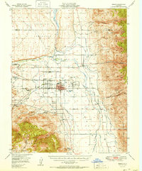
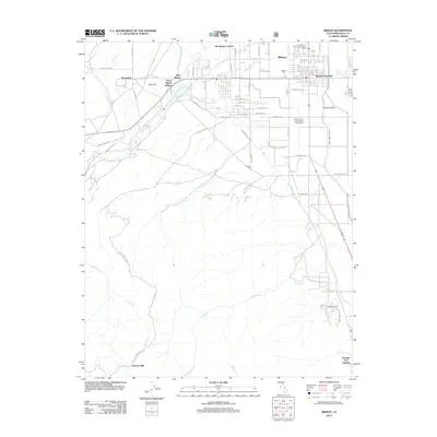
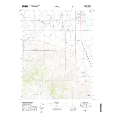
Editions of this 1949 Bishop Map
4 editions found
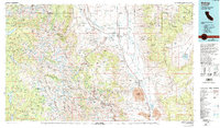
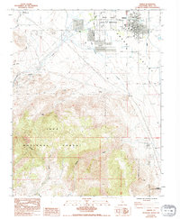
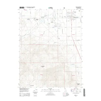
Historical Maps of Bishop Through Time
10 maps found
Featured Locations
Source Details
SourceU.S. Geological Survey
CopyrightPublic Domain