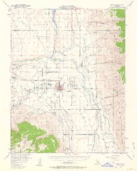
1949 Map of Bishop
USGS Topo · Published 1963About this map
The Owens River valley serves as a dramatic centerpiece for this late 1940s survey, illustrating a landscape defined by an intricate network of irrigation and water management. A series of man-made waterways, including the Bishop Creek Canal, Mc Nally Canal, and Pacific Canal, diverge from the river to support the valley floor. The town of Bishop is the primary hub, surrounded by smaller settlements like Brockmans Corner and the Paiute-Shoshone Indian Reservation.
Find a feature on this map
50 named features on this map. Tap any name to fly to it.
Don’t see what you’re looking for? This feature index may not catch every label — zoom into the map to look around manually.
Map Details
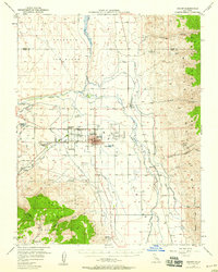
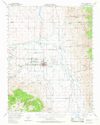
Editions of this 1949 Bishop Map
4 editions found
Other maps of this area

1912 · Mt. Goddard
USGS Topo · 1:125,000

1913 · Bishop
USGS Topo · 1:125,000

1914 · Mt. Morrison
USGS Topo · 1:125,000

1917 · White Mountain
USGS Topo · 1:125,000

1947 · Mariposa
USGS Topo · 1:250,000

1948 · Mariposa
USGS Topo · 1:250,000

1948 · Mt. Goddard
USGS Topo · 1:62,500

1949 · Mt. Tom
USGS Topo · 1:62,500

1949 · Bishop
USGS Topo · 1:62,500

1950 · Big Pine
USGS Topo · 1:62,500