Loading...
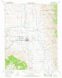
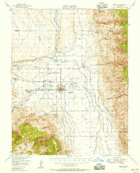
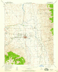
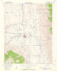
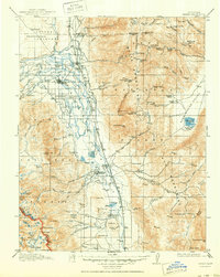
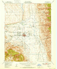
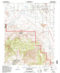
Loading map...1949 Map of Bishop
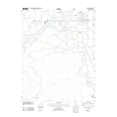
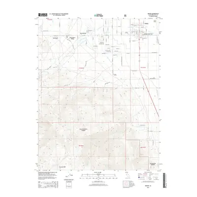
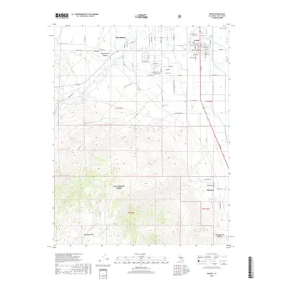
USGS Topo · Published 1969About this map
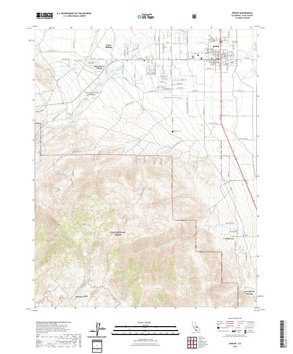
Bishop serves as the primary hub of this high-altitude basin, where the complex irrigation of the Owens River valley meets the industrial interests of the mid-20th century. The landscape is defined by an extensive network of human-made water management, including the Mc Nally Canal, Rawson Canal, and Big Pine Canal, which divert water across the valley floor. To the north, the Volcanic Tableland rises abruptly, while the east is dominated by the steep slopes of the White Mountains.
Find a feature on this map
46 named features on this map. Tap any name to fly to it.
Don’t see what you’re looking for? This feature index may not catch every label — zoom into the map to look around manually.
Map Details
Date Portrayed1949
Date Published1969
PublisherU.S. Geological Survey
Map TypeTopographic
Scale1:62,500
Physical Dimensions16.6 x 20.8 inches
Editions of this 1949 Bishop Map
4 editions found
Historical Maps of Bishop Through Time
10 maps found
Featured Locations
Source Details
SourceU.S. Geological Survey
CopyrightPublic Domain