Loading...
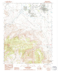
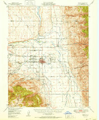
Loading map...1984 Map of Bishop
USGS Topo · Published 1994About this map
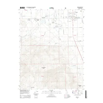
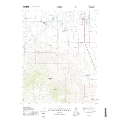
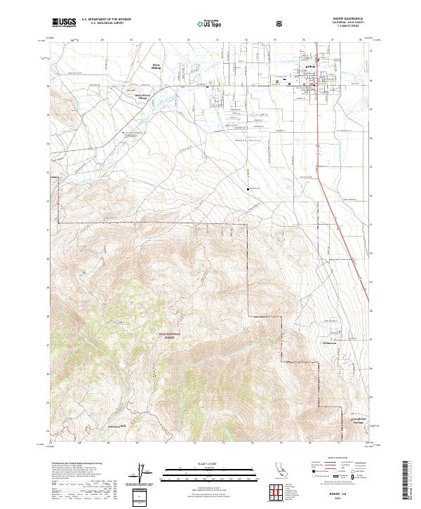
Bishop serves as the hub of the northern Owens Valley in the mid-1980s, where the convergence of Bishop Creek and the Owens River supports a complex infrastructure of municipal and recreational sites. The map documents the town's social fabric through the High Sch, Hospital, and Pioneer Cem, while also noting the specialized areas of the Indian Reservation and the Tri-County Fairground.
Find a feature on this map
46 named features on this map. Tap any name to fly to it.
Don’t see what you’re looking for? This feature index may not catch every label — zoom into the map to look around manually.
Map Details
Date Portrayed1984
Date Published1994
PublisherU.S. Geological Survey
Map TypeTopographic
Scale1:24,000
Physical Dimensions22 x 26.8 inches
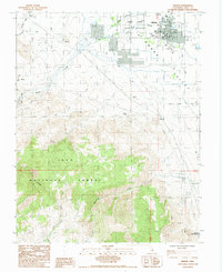
Editions of this 1984 Bishop Map
2 editions found
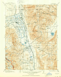
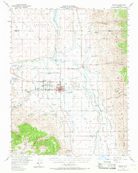
Historical Maps of Bishop Through Time
10 maps found
Featured Locations
Source Details
SourceU.S. Geological Survey
CopyrightPublic Domain