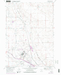
1960 Map of Bishop
USGS Topo · Published 1979About this map
Natrona County International Airport dominates the southern landscape of this high plains region, flanked by the residential cluster at Air Base Acres. The industrial and transport character of the era is evident in the dual rail corridors of the Chicago and North Western and Burlington Northern railroads which intersect near Cadoma. This transit hub supported local agricultural efforts, visible through an intricate network of irrigation features like the Johnson Canal and the Thirtythree Mile Lateral.
Find a feature on this map
24 named features on this map. Tap any name to fly to it.
Don’t see what you’re looking for? This feature index may not catch every label — zoom into the map to look around manually.
Map Details
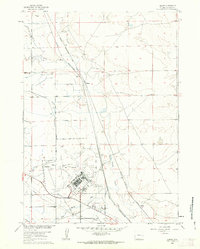
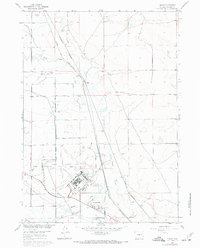
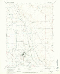
Editions of this 1960 Bishop Map
4 editions found
Other maps of this area

1950 · Emigrant Gap
USGS Topo · 1:24,000

1950 · Goose Egg
USGS Topo · 1:24,000

1950 · Emigrant Gap NE
USGS Topo · 1:24,000

1951 · The Reefs
USGS Topo · 1:24,000

1951 · Casper
USGS Topo · 1:24,000

1952 · Bishop
USGS Topo · 1:24,000

1955 · Arminto
USGS Topo · 1:250,000

1955 · Casper
USGS Topo · 1:250,000

1958 · Casper
USGS Topo · 1:250,000

1958 · Arminto
USGS Topo · 1:250,000