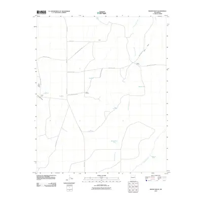
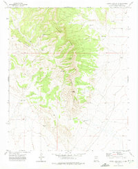
2010 Map of Bishop Ranch
USGS Topo · Published 2010About this map
White Sands Missile Range dominates this high-desert landscape in Socorro County, where access is strictly managed through a network of numbered routes such as WSMR P Route 7 and WSMR S Route 3706. This area represents a quiet intersection of military geography and traditional ranching life, centered on small settlements like Bishop Ranch and Harless. The terrain is defined by dry drainage systems including Rancho Viejo Arroyo and Chupadera Arroyo, which cut through the arid flats alongside Canon de la Rosa. Water management is the primary marker of human presence here, evidenced by numerous named stock tanks and catchment points like Jesus Tank, Gyp Tank, and Baumgardner Tank. A Booster Windmill stands as a functional landmark in an environment where every water source, from Sand Draw to Manuel Tank, is essential for the region's cattle operations and survival.
Find a feature on this map
25 named features on this map. Tap any name to fly to it.
Don’t see what you’re looking for? This feature index may not catch every label — zoom into the map to look around manually.
Map Details
Editions of this 2010 Bishop Ranch Map
This is the sole edition of this map. No revisions or reprints were ever made.
Other maps of this area
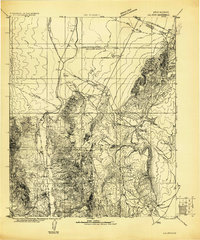
1916 · La Joya
USGS Topo · 1:125,000
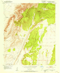
1952 · Cerro Montoso
USGS Topo · 1:24,000

1954 · Socorro
USGS Topo · 1:250,000

1958 · Socorro
USGS Topo · 1:250,000
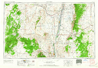
1962 · Socorro
USGS Topo · 1:250,000
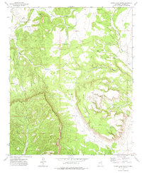
1972 · Sierra Larga North
USGS Topo · 1:24,000
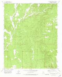
1972 · Chupadera Spring
USGS Topo · 1:24,000
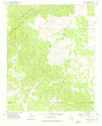
1972 · Chupadera
USGS Topo · 1:24,000
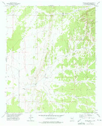
1972 · Wilson Ranch
USGS Topo · 1:24,000
1972 · Sierra Larga South
USGS Topo · 1:24,000