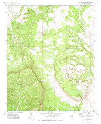
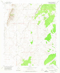
1972 Map of Sierra Larga North
USGS Topo · Published 1975About this map
Sierra Larga and Mesa Redonda dominate this arid central New Mexico landscape, characterized by high mesas and deeply incised canyons. In the early 1970s, this portion of Sevilleta was defined by its water-management infrastructure, essential for ranching in such dry terrain. The map records numerous named catchments and water sources, including Upper Marr Tank, Lower Marr Tank, and Mountain Tank, along with the Booster Windmill.
Find a feature on this map
31 named features on this map. Tap any name to fly to it.
Don’t see what you’re looking for? This feature index may not catch every label — zoom into the map to look around manually.
Map Details
Editions of this 1972 Sierra Larga North Map
This is the sole edition of this map. No revisions or reprints were ever made.
Other maps of this area

1916 · La Joya
USGS Topo · 1:125,000

1952 · Becker SW
USGS Topo · 1:24,000

1952 · Cerro Montoso
USGS Topo · 1:24,000

1954 · Socorro
USGS Topo · 1:250,000

1958 · Socorro
USGS Topo · 1:250,000

1962 · Socorro
USGS Topo · 1:250,000
1972 · Bustos Well
USGS Topo · 1:24,000
1972 · Sierra Larga South
USGS Topo · 1:24,000
1972 · Sierra De La Cruz
USGS Topo · 1:24,000
1972 · Orndorff Ranch
USGS Topo · 1:24,000