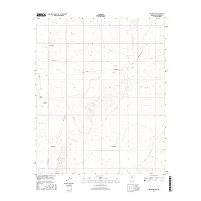
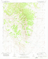
2017 Map of Bishop Ranch
USGS Topo · Published 2017About this map
Bishop Ranch anchors the western edge of this Socorro County landscape, situated near the dramatic break of Cañon de la Rosa. The region is defined by an intricate network of ephemeral watercourses and livestock infrastructure, where the Rancho Viejo Arroyo and Chupadera Arroyo drain the arid terrain. A legacy of ranching is etched into the map through numerous named catchments like Baumgardner Tank, Roebuck Tank, and Manuel Tank. This complex water management system reveals the reliance on seasonal runoff to support life in the high desert. Modern access is provided by a grid of designated routes including Co RD 127 and various White Sands Missile Range (WSMR) roads, which cut across the historical land divisions of T1S R4E and T2S R5E. The topography varies from the broad flats of Sand Draw to the more broken relief surrounding Arrese Tank.
Find a feature on this map
25 named features on this map. Tap any name to fly to it.
Don’t see what you’re looking for? This feature index may not catch every label — zoom into the map to look around manually.
Map Details
Editions of this 2017 Bishop Ranch Map
This is the sole edition of this map. No revisions or reprints were ever made.
Other maps of this area
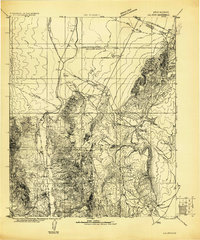
1916 · La Joya
USGS Topo · 1:125,000
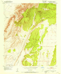
1952 · Cerro Montoso
USGS Topo · 1:24,000

1954 · Socorro
USGS Topo · 1:250,000

1958 · Socorro
USGS Topo · 1:250,000
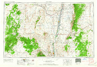
1962 · Socorro
USGS Topo · 1:250,000
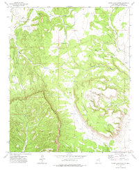
1972 · Sierra Larga North
USGS Topo · 1:24,000
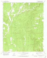
1972 · Chupadera Spring
USGS Topo · 1:24,000
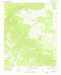
1972 · Chupadera
USGS Topo · 1:24,000
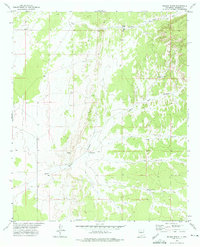
1972 · Wilson Ranch
USGS Topo · 1:24,000
1972 · Sierra Larga South
USGS Topo · 1:24,000