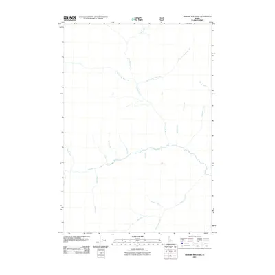
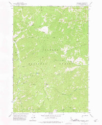
2011 Map of Bismark Mountain
USGS Topo · Published 2011About this map
Big Creek flows through this mountainous region of Idaho County, forming a central drainage system that dictates the geography of this remote landscape. The map reveals an intricate network of tributaries that carve through the wilderness, including Big Ramey Creek and its distinctive branches, the West Fork Big Ramey Creek and East Fork Big Ramey Creek. This 2011 survey, utilizing imagery from 2009, documents the primitive road and trail infrastructure typical of the Frank Church-River of No Return Wilderness area. Water sources with names such as Whiskey Creek, Wild Horse Creek, and Gold Creek hint at the prospecting and pioneering history of the backcountry. To the south, Monumental Creek and Diamond Creek converge, illustrating the rugged hydrological patterns that have historically challenged travel and settlement in the central Idaho mountains.
Find a feature on this map
16 named features on this map. Tap any name to fly to it.
Don’t see what you’re looking for? This feature index may not catch every label — zoom into the map to look around manually.
Map Details
Editions of this 2011 Bismark Mountain Map
This is the sole edition of this map. No revisions or reprints were ever made.
Other maps of this area
1937 · Big Creek
USGS Topo · 1:48,000
1942 · Big Creek
USGS Topo · 1:62,500

1956 · Elk City
USGS Topo · 1:250,000

1960 · Elk City
USGS Topo · 1:250,000
1969 · Edwardsburg
USGS Topo · 1:24,000
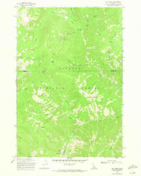
1969 · Big Creek
USGS Topo · 1:24,000
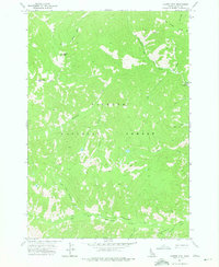
1973 · Center Mtn
USGS Topo · 1:24,000
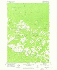
1973 · Acorn Butte
USGS Topo · 1:24,000
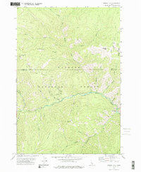
1973 · Bismark Mtn
USGS Topo · 1:24,000
1973 · Monument
USGS Topo · 1:24,000