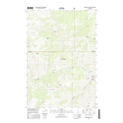
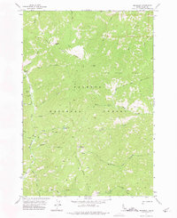
2017 Map of Bismark Mountain
USGS Topo · Published 2017About this map
Payette National Forest dominates this section of the Idaho backcountry, where the drainage of Big Creek carves through deep canyons and high ridges. The landscape is defined by its complex hydrology, including the convergence of Monumental Creek, Diamond Creek, and Little Ramey Creek. These waters descend from prominent heights such as Bismark Mountain and Center Mountain.
Find a feature on this map
38 named features on this map. Tap any name to fly to it.
Don’t see what you’re looking for? This feature index may not catch every label — zoom into the map to look around manually.
Map Details
Editions of this 2017 Bismark Mountain Map
This is the sole edition of this map. No revisions or reprints were ever made.
Other maps of this area
1937 · Big Creek
USGS Topo · 1:48,000
1942 · Big Creek
USGS Topo · 1:62,500

1956 · Elk City
USGS Topo · 1:250,000

1960 · Elk City
USGS Topo · 1:250,000
1969 · Edwardsburg
USGS Topo · 1:24,000
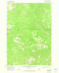
1969 · Big Creek
USGS Topo · 1:24,000
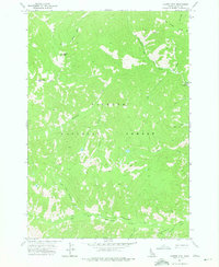
1973 · Center Mtn
USGS Topo · 1:24,000
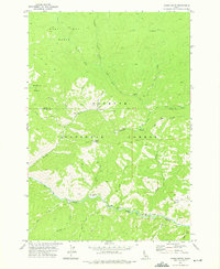
1973 · Acorn Butte
USGS Topo · 1:24,000
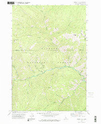
1973 · Bismark Mtn
USGS Topo · 1:24,000
1973 · Monument
USGS Topo · 1:24,000