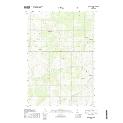
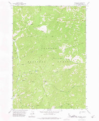
2020 Map of Bismark Mountain
USGS Topo · Published 2020About this map
Bismark Mtn and the surrounding high country of the Payette National Forest define this remote section of the Idaho landscape along the border of Idaho and Valley counties. The topography is dominated by dramatic elevation changes between high points like Diamond Point and Center Mountain and the deep drainage of Big Creek. The 2020 data highlights several areas of significance for local history and backcountry exploration, including the Monumental Bridge crossing over Monumental Creek and the named landing at Monumental Bar. Numerous seasonal and perennial waterways, such as Wild Horse Cr and Little Marble Cr, carve through the complex terrain of Ramey Ridge and Eightyeight Ridge. The map identifies specifically named local landforms like Carpenters Gulch and Bismark Basin, providing essential detail for navigating or researching the historic Salmon River backcountry region.
Find a feature on this map
36 named features on this map. Tap any name to fly to it.
Don’t see what you’re looking for? This feature index may not catch every label — zoom into the map to look around manually.
Map Details
Editions of this 2020 Bismark Mountain Map
This is the sole edition of this map. No revisions or reprints were ever made.
Other maps of this area
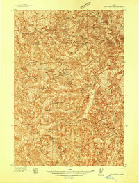
1937 · Big Creek
USGS Topo · 1:48,000
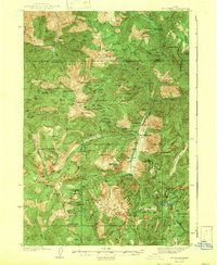
1942 · Big Creek
USGS Topo · 1:62,500

1956 · Elk City
USGS Topo · 1:250,000

1960 · Elk City
USGS Topo · 1:250,000
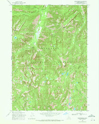
1969 · Edwardsburg
USGS Topo · 1:24,000
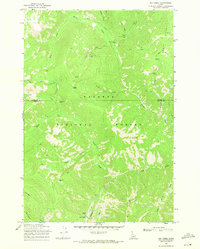
1969 · Big Creek
USGS Topo · 1:24,000
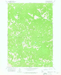
1973 · Center Mtn
USGS Topo · 1:24,000
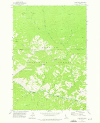
1973 · Acorn Butte
USGS Topo · 1:24,000
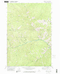
1973 · Bismark Mtn
USGS Topo · 1:24,000
1973 · Monument
USGS Topo · 1:24,000