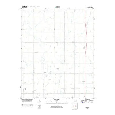
2009 Map of Bison
USGS Topo · Published 2009About this map
Turkey Creek and its many tributaries, including the curiously named Hell and Gone Creek, define the drainage of this Garfield County landscape. The area is characterized by a precise grid of section-line roads, such as E0530 Rd and N2810 Rd, which separate agricultural tracts and lead to small family-associated landmarks. Genealogists and local historians will find significant value in the documentation of Hope Cemetery and Hennessey Cemetery, as well as the naturally occurring Buffalo Springs. The economy of the era is reflected in the private aviation infrastructure, evidenced by the Pribyl Ranch Landing Strip and Miller Landing Strip. Water management is represented by the Oknoname 04701 Dam, which interrupts the natural flow of Buffalo Creek in the central portion of the survey.
Find a feature on this map
29 named features on this map. Tap any name to fly to it.
Don’t see what you’re looking for? This feature index may not catch every label — zoom into the map to look around manually.
Map Details
Editions of this 2009 Bison Map
This is the sole edition of this map. No revisions or reprints were ever made.
Other maps of this area

1893 · Hennessey
USGS Topo · 1:62,500

1893 · Ames
USGS Topo · 1:62,500

1955 · Enid
USGS Topo · 1:250,000

1955 · Woodward
USGS Topo · 1:250,000

1956 · Ames
USGS Topo · 1:62,500

1956 · Hennessey
USGS Topo · 1:62,500

1956 · Enid
USGS Topo · 1:62,500

1956 · Ringwood
USGS Topo · 1:62,500

1958 · Enid
USGS Topo · 1:250,000

1958 · Woodward
USGS Topo · 1:250,000