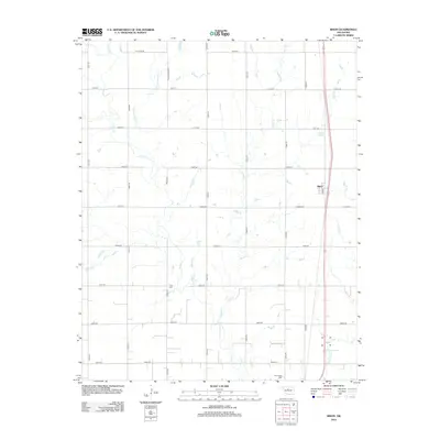
2012 Map of Bison
USGS Topo · Published 2012About this map
Bison serves as the primary settlement center on this Garfield County prairie, situated along the eastern corridor where a modern highway network overlays the historic grid. The landscape is defined by an intricate web of seasonal watercourses, including the distinctively named Hell and Gone Cr and the meandering Buffalo Cr. These drainage patterns shaped the placement of early farms and the section roads that still define the region's transport network.
Find a feature on this map
31 named features on this map. Tap any name to fly to it.
Don’t see what you’re looking for? This feature index may not catch every label — zoom into the map to look around manually.
Map Details
Editions of this 2012 Bison Map
This is the sole edition of this map. No revisions or reprints were ever made.
Other maps of this area

1893 · Hennessey
USGS Topo · 1:62,500

1893 · Ames
USGS Topo · 1:62,500

1955 · Enid
USGS Topo · 1:250,000

1955 · Woodward
USGS Topo · 1:250,000

1956 · Ames
USGS Topo · 1:62,500

1956 · Hennessey
USGS Topo · 1:62,500

1956 · Enid
USGS Topo · 1:62,500

1956 · Ringwood
USGS Topo · 1:62,500

1958 · Enid
USGS Topo · 1:250,000

1958 · Woodward
USGS Topo · 1:250,000