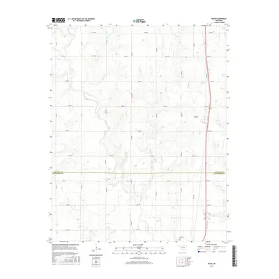
2016 Map of Bison
USGS Topo · Published 2016About this map
Bison sits at the heart of this North Central Oklahoma landscape, where the prairie is etched by a complex network of waterways. The drainage patterns are defined by the winding paths of Turkey Cr and the descriptively named Hell and Gone Cr, which snake through the agricultural grid. To the south, the boundary between Garfield Co and Kingfisher Co bisects the terrain, marking a political division across the rolling plains.
Find a feature on this map
30 named features on this map. Tap any name to fly to it.
Don’t see what you’re looking for? This feature index may not catch every label — zoom into the map to look around manually.
Map Details
Editions of this 2016 Bison Map
This is the sole edition of this map. No revisions or reprints were ever made.
Other maps of this area
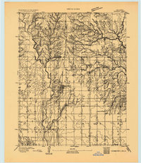
1893 · Hennessey
USGS Topo · 1:62,500
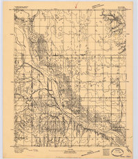
1893 · Ames
USGS Topo · 1:62,500

1955 · Enid
USGS Topo · 1:250,000

1955 · Woodward
USGS Topo · 1:250,000
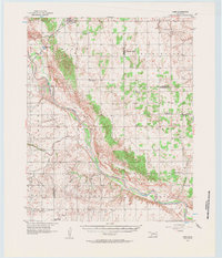
1956 · Ames
USGS Topo · 1:62,500
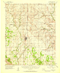
1956 · Hennessey
USGS Topo · 1:62,500
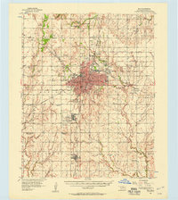
1956 · Enid
USGS Topo · 1:62,500
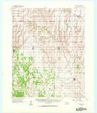
1956 · Ringwood
USGS Topo · 1:62,500

1958 · Enid
USGS Topo · 1:250,000

1958 · Woodward
USGS Topo · 1:250,000