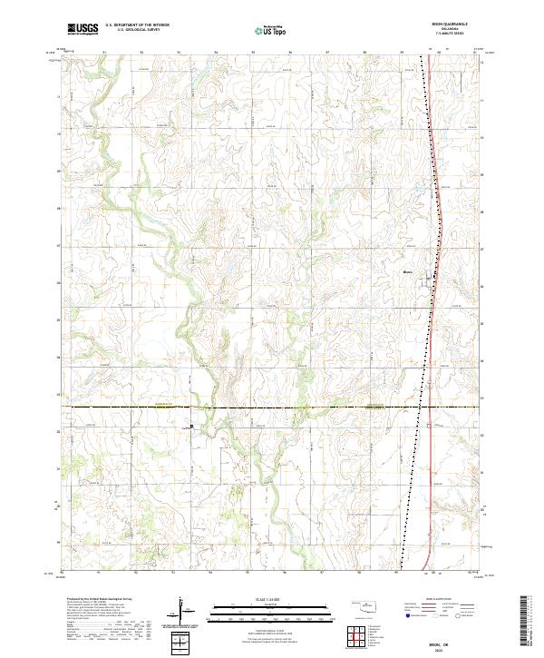
2022 Map of Bison
USGS Topo · Published 2022About this map
Bison serves as the primary settlement hub on this prairie landscape, where the agricultural grid is intersected by several meandering waterways. The drainage pattern is particularly dense, featuring the uniquely named Hell and Gone Cr alongside Turkey Cr, Buffalo Cr, and Dry Cr. These streams carve subtle relief into the terrain as they flow toward the south and east. Near the boundary of Garfield Co Kingfisher Co, the quiet grounds of Hope Cem stand as a central landmark for local genealogists tracing early families. The area is defined by its rural road network, which connects outlying farmsteads to the rail-aligned community of Bison and the nearby Buffalo Springs. This modern survey details the persistent rural character of the region where Kingfisher and Garfield counties meet.
Find a feature on this map
37 named features on this map. Tap any name to fly to it.
Don’t see what you’re looking for? This feature index may not catch every label — zoom into the map to look around manually.
Map Details
Editions of this 2022 Bison Map
This is the sole edition of this map. No revisions or reprints were ever made.
Other maps of this area

1893 · Hennessey
USGS Topo · 1:62,500

1893 · Ames
USGS Topo · 1:62,500

1955 · Enid
USGS Topo · 1:250,000

1955 · Woodward
USGS Topo · 1:250,000

1956 · Ames
USGS Topo · 1:62,500

1956 · Hennessey
USGS Topo · 1:62,500

1956 · Enid
USGS Topo · 1:62,500

1956 · Ringwood
USGS Topo · 1:62,500

1958 · Enid
USGS Topo · 1:250,000

1958 · Woodward
USGS Topo · 1:250,000