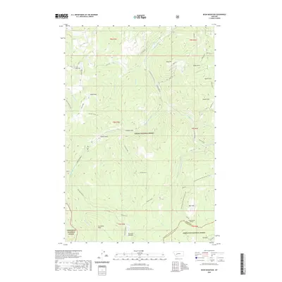
2020 Map of Bison Mountain
USGS Topo · Published 2020About this map
Irish Mine Hill and the surrounding high ridges of the Helena National Forest define this landscape where Jefferson and Powell counties meet. The terrain is characterized by steep drainages and isolated landmarks such as Treasure Mtn and Bison Mt, connected by a network of forest roads and the high-altitude Continental Divide National Scenic Trail. Waterways like the Little Blackfoot River and Monarch Creek cut through deep ravines, while Blackfoot Meadows offers rare open ground in the southern reaches.
Find a feature on this map
42 named features on this map. Tap any name to fly to it.
Don’t see what you’re looking for? This feature index may not catch every label — zoom into the map to look around manually.
Map Details
Editions of this 2020 Bison Mountain Map
This is the sole edition of this map. No revisions or reprints were ever made.
Other maps of this area

1889 · Helena
USGS Topo · 1:250,000

1893 · Helena
USGS Topo · 1:250,000

1899 · Boulder
USGS Topo · 1:125,000

1899 · Helena
USGS Topo · 1:250,000

1903 · Helena
USGS Topo · 1:250,000

1947 · Butte
USGS Topo · 1:250,000

1954 · Basin
USGS Topo · 1:62,500

1958 · Butte
USGS Topo · 1:250,000

1958 · Avon
USGS Topo · 1:62,500

1959 · Deer Lodge
USGS Topo · 1:62,500