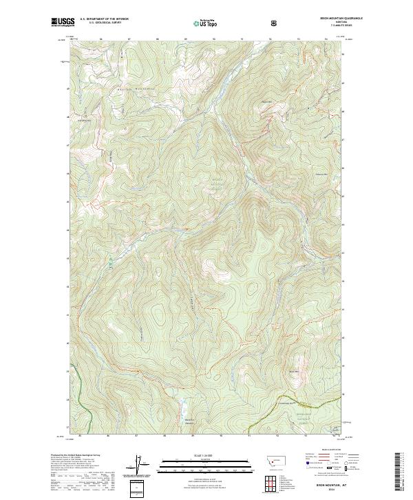
2024 Map of Bison Mountain
USGS Topo · Published 2024About this map
The Continental Divide winds through the high elevation terrain of the Helena National Forest and Deerlodge National Forest, marking the geological heart of this region. The landscape is defined by a series of prominent peaks and ridges, including Bison Mtn, Negro Mtn, and Treasure Mtn. This network of peaks forms the headwaters for several waterways, most notably the Little Blackfoot River, which draws from high-altitude features like Blackfoot Meadows.
Find a feature on this map
44 named features on this map. Tap any name to fly to it.
Don’t see what you’re looking for? This feature index may not catch every label — zoom into the map to look around manually.
Map Details
Editions of this 2024 Bison Mountain Map
This is the sole edition of this map. No revisions or reprints were ever made.
Other maps of this area

1889 · Helena
USGS Topo · 1:250,000

1893 · Helena
USGS Topo · 1:250,000

1899 · Boulder
USGS Topo · 1:125,000

1899 · Helena
USGS Topo · 1:250,000

1903 · Helena
USGS Topo · 1:250,000

1947 · Butte
USGS Topo · 1:250,000

1954 · Basin
USGS Topo · 1:62,500

1958 · Butte
USGS Topo · 1:250,000

1958 · Avon
USGS Topo · 1:62,500

1959 · Deer Lodge
USGS Topo · 1:62,500