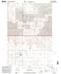
1998 Map of Bison
USGS Topo · Published 2001About this map
Bison serves as the focal point of this Perkins County landscape during the late 1990s, surrounded by a transition from managed ranchlands to protected federal territory. The northern half of the area is dominated by the Grand River National Grassland, where the South Fork Grand River cuts through the terrain. Evidence of the local ranching economy is preserved through specifically named homesteads such as the J Laughlin Ranch, M Jensen Ranch, and M Johnson Ranch, which are situated along the section lines and coulees of the plains.
Find a feature on this map
16 named features on this map. Tap any name to fly to it.
Don’t see what you’re looking for? This feature index may not catch every label — zoom into the map to look around manually.
Map Details
Editions of this 1998 Bison Map
This is the sole edition of this map. No revisions or reprints were ever made.
Other maps of this area

1954 · Lemmon
USGS Topo · 1:250,000

1957 · Lemmon
USGS Topo · 1:250,000

1983 · Boxcar Buttes
USGS Topo · 1:24,000

1983 · Square Top Butte
USGS Topo · 1:24,000

1983 · Bison
USGS Topo · 1:24,000

1983 · Bison NE
USGS Topo · 1:24,000

1983 · Cole Dam
USGS Topo · 1:24,000

1983 · Date NE
USGS Topo · 1:24,000

1983 · Owen Lake
USGS Topo · 1:24,000

1983 · Bison NW
USGS Topo · 1:24,000