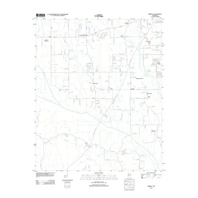
2012 Map of Bissell
USGS Topo · Published 2012About this map
Bissell and the western outskirts of Tupelo are captured here during a period of suburban residential development integrated with traditional Mississippi farmland. The landscape is defined by the winding paths of Chiwapa Cr and Tubbalubba Cr, which traverse the southern half of the quadrangle. Several distinct residential communities are established, including Fawn Meadows, Praise Acres, and Haven Acres, reflecting the 21st-century growth of the region.
Find a feature on this map
137 named features on this map. Tap any name to fly to it.
Don’t see what you’re looking for? This feature index may not catch every label — zoom into the map to look around manually.
Map Details
Editions of this 2012 Bissell Map
This is the sole edition of this map. No revisions or reprints were ever made.
Other maps of this area

1921 · Tupelo
USGS Topo · 1:48,000

1923 · Tupelo
USGS Topo · 1:62,500

1955 · Sherman
USGS Topo · 1:62,500

1956 · Tupelo
USGS Topo · 1:250,000

1958 · Tupelo
USGS Topo · 1:250,000

1966 · Shannon
USGS Topo · 1:24,000

1966 · Troy NW
USGS Topo · 1:24,000

1966 · Troy SE
USGS Topo · 1:24,000

1966 · Bissell
USGS Topo · 1:24,000

1966 · Verona
USGS Topo · 1:24,000