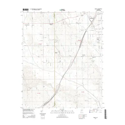
2015 Map of Bissell
USGS Topo · Published 2015About this map
The western outskirts of Tupelo and the community of Bissell define this landscape where residential growth meets the agricultural history of Lee County. The Natchez Trace Parkway and National Scenic Trail cuts a diagonal path through the terrain, tracing an ancient route through the South. Local family history and genealogy are preserved in numerous burial grounds across the quadrangle, including the Mallory Family Cem and Pontotola Cem. Small settlements like Furrs and Palmetto serve as anchors for the surrounding countryside, while several new housing developments such as Haven Acres and Country Oak Estates show the area's transition towards suburban expansion. The drainage of Coonewah Creek and Chiwapa Creek creates a network of stream valleys that have influenced the placement of roads and farms for generations.
Find a feature on this map
113 named features on this map. Tap any name to fly to it.
Don’t see what you’re looking for? This feature index may not catch every label — zoom into the map to look around manually.
Map Details
Editions of this 2015 Bissell Map
This is the sole edition of this map. No revisions or reprints were ever made.
Other maps of this area

1921 · Tupelo
USGS Topo · 1:48,000

1923 · Tupelo
USGS Topo · 1:62,500

1955 · Sherman
USGS Topo · 1:62,500

1956 · Tupelo
USGS Topo · 1:250,000

1958 · Tupelo
USGS Topo · 1:250,000

1966 · Shannon
USGS Topo · 1:24,000

1966 · Troy NW
USGS Topo · 1:24,000

1966 · Troy SE
USGS Topo · 1:24,000

1966 · Bissell
USGS Topo · 1:24,000

1966 · Verona
USGS Topo · 1:24,000