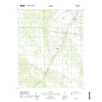
2021 Map of Bissell
USGS Topo · Published 2021About this map
Tupelo's western expansion and the rural communities of western Lee Co are captured here in the early 2020s. The Natchez Trace Pkwy serves as the dominant north-south corridor, cutting through a landscape of creek bottoms and small settlements like Bissell, Furrs, and Palmetto. The mapping highlights a dense network of local roads and family-named landmarks that reflect generations of land use, from the residential clusters on the edge of the city to the more open terrain around Spearman Field.
Find a feature on this map
124 named features on this map. Tap any name to fly to it.
Don’t see what you’re looking for? This feature index may not catch every label — zoom into the map to look around manually.
Map Details
Editions of this 2021 Bissell Map
This is the sole edition of this map. No revisions or reprints were ever made.
Other maps of this area

1921 · Tupelo
USGS Topo · 1:48,000

1923 · Tupelo
USGS Topo · 1:62,500

1955 · Sherman
USGS Topo · 1:62,500

1956 · Tupelo
USGS Topo · 1:250,000

1958 · Tupelo
USGS Topo · 1:250,000

1966 · Shannon
USGS Topo · 1:24,000

1966 · Troy NW
USGS Topo · 1:24,000

1966 · Troy SE
USGS Topo · 1:24,000

1966 · Bissell
USGS Topo · 1:24,000

1966 · Verona
USGS Topo · 1:24,000