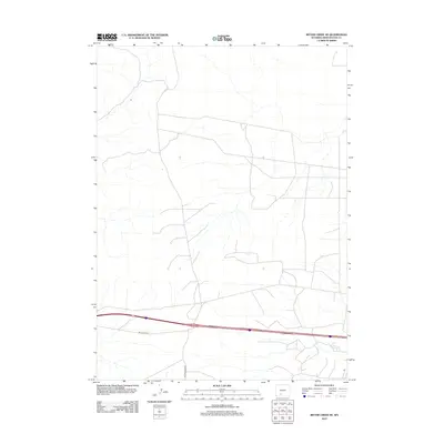
2012 Map of Bitter Creek NE
USGS Topo · Published 2012About this map
The High Plains of Sweetwater County are defined here by a sparse network of modern transportation infrastructure and natural drainage patterns. The landscape is dominated by the corridor of Interstate 80, which cuts through the southern portion of the quadrangle. Parallel to this major thoroughfare, the I80 Service Rd provides local access, while Bitter Creek Rd extends southward into the open rangeland. The map illustrates a high-desert environment where the terrain is etched by numerous unnamed ephemeral stream beds and seasonal drainages, characteristic of this portion of Wyoming. This 2012 survey captures the area at a time when industrial and transportation needs were the primary drivers of human development in this otherwise open geographic space.
Find a feature on this map
2 named features on this map. Tap any name to fly to it.
Don’t see what you’re looking for? This feature index may not catch every label — zoom into the map to look around manually.
Map Details
Editions of this 2012 Bitter Creek NE Map
This is the sole edition of this map. No revisions or reprints were ever made.
Other maps of this area

1954 · Rock Springs
USGS Topo · 1:250,000

1958 · Rock Springs
USGS Topo · 1:250,000

1958 · Twelvemile Well
USGS Topo · 1:62,500

1960 · Red Lake
USGS Topo · 1:62,500

1962 · Rock Springs
USGS Topo · 1:250,000

1968 · Bitter Creek NW
USGS Topo · 1:24,000

1968 · Bitter Creek
USGS Topo · 1:24,000

1968 · Black Buttes
USGS Topo · 1:24,000

1968 · Bitter Creek NE
USGS Topo · 1:24,000

1970 · Table Rock
USGS Topo · 1:24,000