
1968 Map of Bitter Creek
USGS Topo · Published 1972About this map
Bitter Creek serves as the focal point for this landscape in Sweetwater County, where the industrial infrastructure of the late 1960s meets much older transit corridors. The settlement is positioned along the Union Pacific railroad, reflecting the vital rail link that shaped Wyoming's development. Of particular interest to historians is the presence of the Overland Trail, which runs parallel to the railroad and the creek, marking a historical path used by thousands of westward migrants.
Find a feature on this map
13 named features on this map. Tap any name to fly to it.
Don’t see what you’re looking for? This feature index may not catch every label — zoom into the map to look around manually.
Map Details
Editions of this 1968 Bitter Creek Map
This is the sole edition of this map. No revisions or reprints were ever made.
Other maps of this area

1954 · Rock Springs
USGS Topo · 1:250,000

1958 · Rock Springs
USGS Topo · 1:250,000

1962 · Rock Springs
USGS Topo · 1:250,000

1968 · Bitter Creek NW
USGS Topo · 1:24,000

1968 · Sand Butte Rim NW
USGS Topo · 1:24,000

1968 · Black Buttes
USGS Topo · 1:24,000
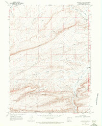
1968 · Antelope Flats
USGS Topo · 1:24,000

1968 · Bitter Creek NE
USGS Topo · 1:24,000

1970 · Table Rock
USGS Topo · 1:24,000
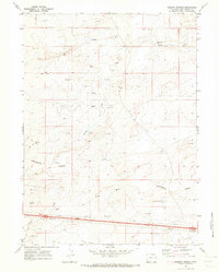
1970 · Desert Springs
USGS Topo · 1:24,000